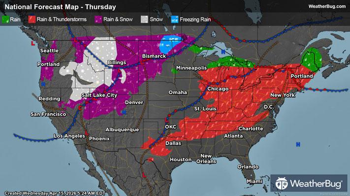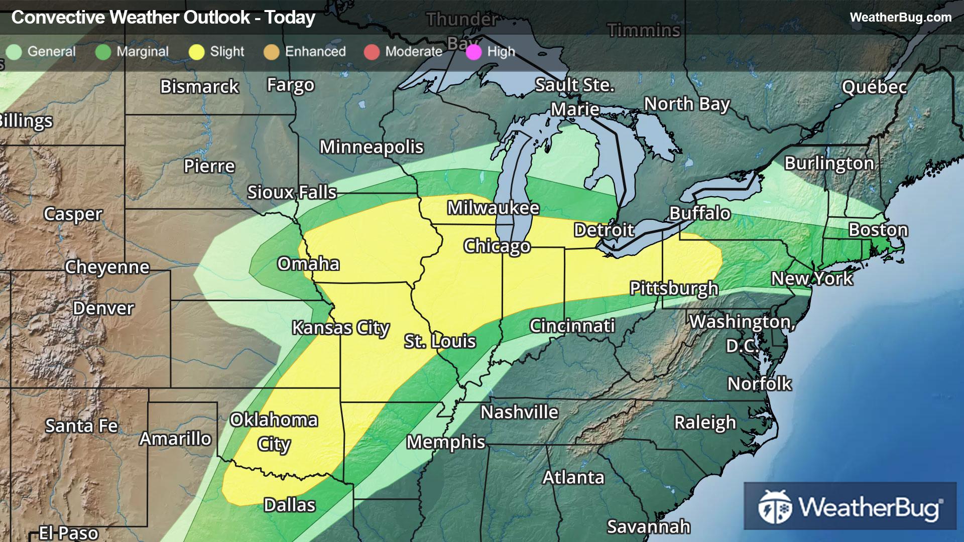
Southern Plains to the Great Lakes on Alert for Severe Storms
Scattered strong thunderstorms are expected from the southern Plains to the lower Great Lakes today.
Read More
Weather Station:RANTOUL
74degrees Fahrenheit
Feels like:74°F
Hi: 75Lo: 64
40% Chance of Light Rain
Hi75°F
A chance of showers early in the afternoon then showers and thunderstorms likely late. Highs in the mid 70s. Southwest winds 10 to 15 mph with gusts up to 25 mph. Chance of precipitation 60 percent.
Lo64°F
Showers likely with a chance of thunderstorms until early morning then a chance of showers with a slight chance of thunderstorms late. Lows in the lower 60s. South winds 10 to 15 mph. Gusts up to 25 mph in the evening. Chance of precipitation 70 percent.
24 | Fair
8.6 Medium-High
Closest strike in the last 30 minutes:199.4 miles
No Lightning Nearby