


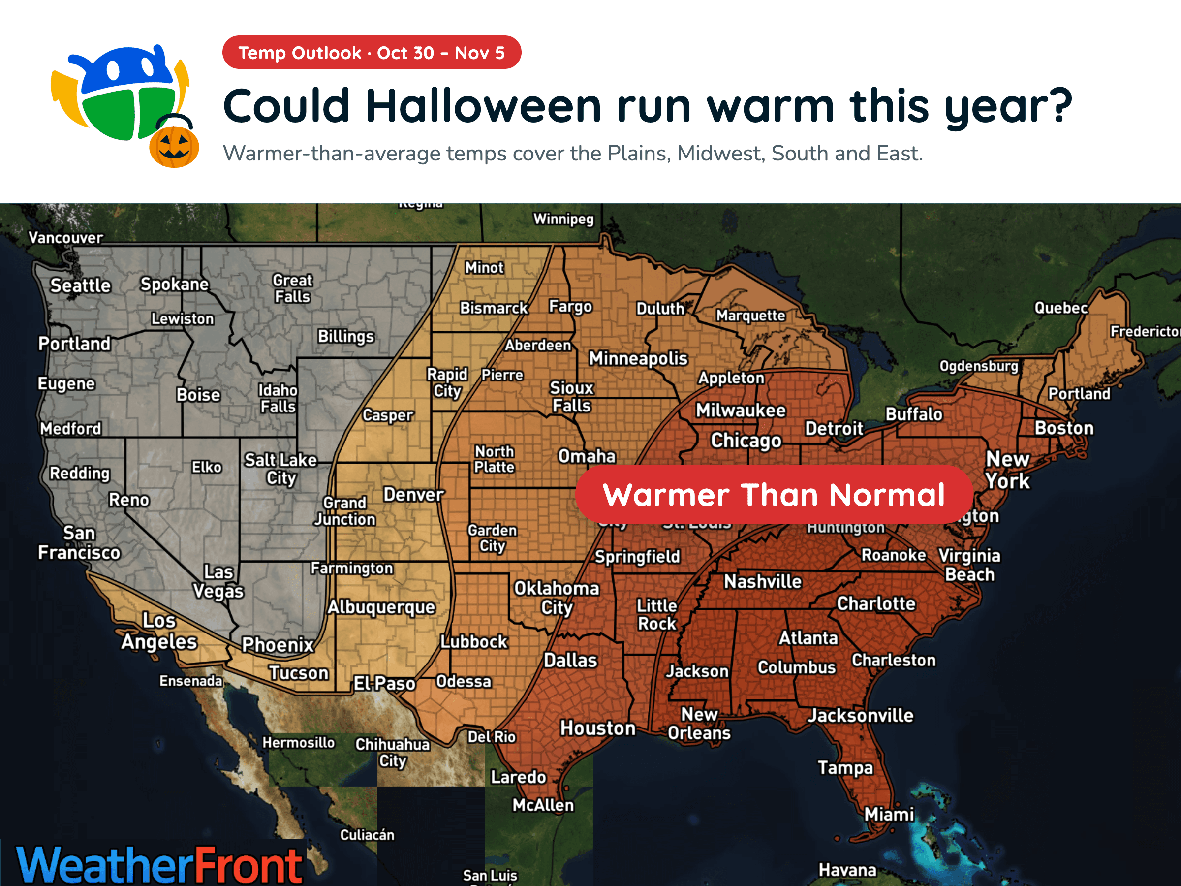
Halloween Weather Outlook: A Warm-Up for Much of the U.S. 🎃
Warmer-than-average temperatures could stick around into early November, but will you need a jacket over your Halloween costume?
Read More
80degrees Fahrenheit

Feels like:81°
Hi:85°Lo:60°
60% Chance of Storms
Hi

Cloudy with a 96% chance for rain and thunderstorms. High temperature around 85F. Dew point will be around 69F with an average humidity of 73%. Winds will be 10 mph from the WNW.
Lo

Cloudy with a 85% chance for rain and thunderstorms. Low temperature around 60F. Dew point will be around 54F with an average humidity of 88%. Winds will be 8 mph from the SSE.


Closest strike in the last 30 minutes:177.7 miles
No Lightning Nearby


Warmer-than-average temperatures could stick around into early November, but will you need a jacket over your Halloween costume?




