Below-Normal 2026 Atlantic Hurricane Season Predicted
The upcoming season is expected to feature below-normal tropical activity as El Niño develops.
Read More

Feels like:73°
Current Weather ConditionPartly Cloudy
Hi

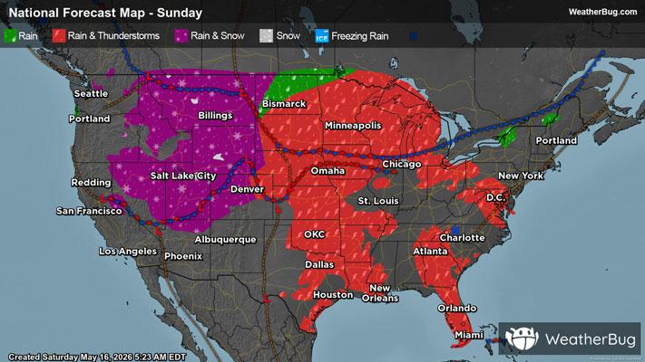
Showers likely with a chance of thunderstorms. Near steady temperature in the mid 70s. Southwest winds 15 to 20 mph with gusts up to 30 mph. Chance of rain 70 percent.
Lo

Mostly cloudy. A slight chance of showers and thunderstorms in the evening. Not as cool with lows in the mid 60s. Southwest winds 10 to 15 mph. Chance of rain 20 percent.


Closest strike in the last 30 minutes:240.7 miles
No Lightning Nearby