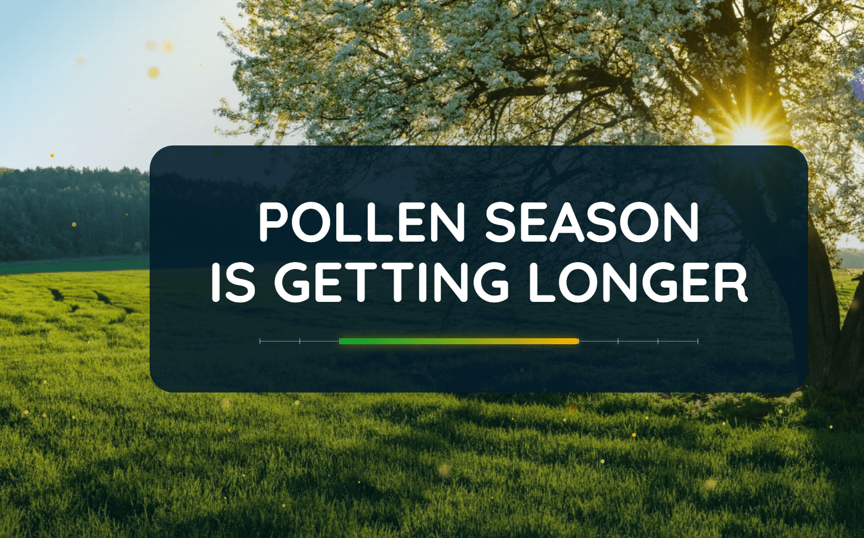
Are Pollen Seasons Getting Worse? The Data Says Yes
Pollen seasons across North America are lasting longer and producing more pollen, creating a tougher allergy season for millions of people.
Read More
46degrees Fahrenheit

Feels like:43°
Hi:46°Lo:46°
40% Chance of Light Rain
Hi

Mostly cloudy with a 40 percent chance of showers. Near steady temperature in the upper 40s. East winds around 5 mph.
Lo

Cloudy. A chance of showers, mainly in the evening. Areas of fog after midnight. Not as cool. Near steady temperature in the upper 40s. Southeast winds around 5 mph. Chance of rain 40 percent.

Closest strike in the last 30 minutes:1165.5 miles
No Lightning Nearby


Pollen seasons across North America are lasting longer and producing more pollen, creating a tougher allergy season for millions of people.