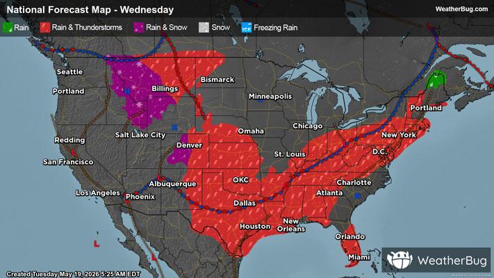
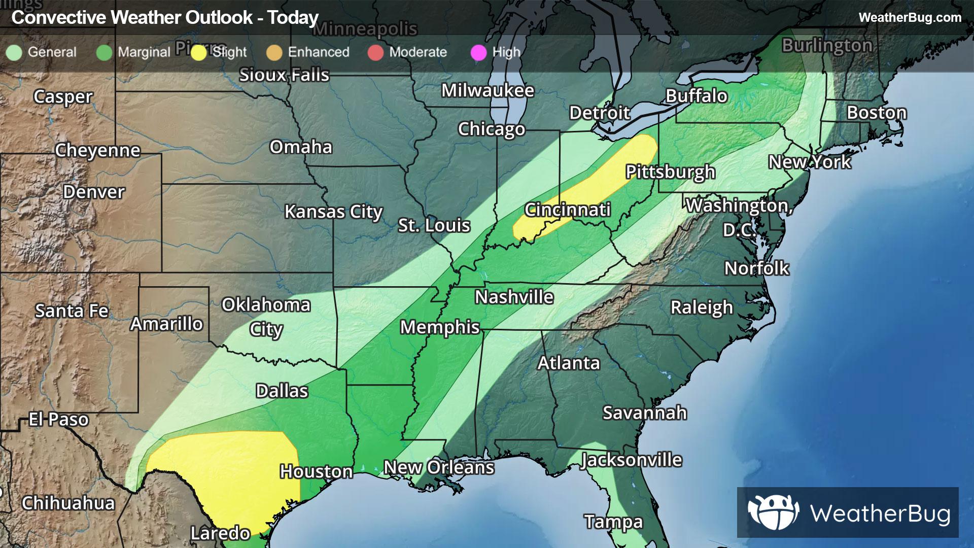
Unrelenting Storm Track Brings Snow to Great Lakes & Eastern U.S.
Two main areas of low pressure will produce snow in the Upper Midwest, Great Lakes and Eastern U.S.
Weather Station:Houghton Co. Arpt Calumet elev 1100 ft
14degrees Fahrenheit
Feels like:2°F
Hi: 16Lo: 6
60% Chance of Heavy Snow
Lo6°F
Snow showers. Areas of blowing snow and heavy freezing spray with visibility one quarter mile or less at times. Snow accumulation of 1 to 3 inches. Windy with lows 1 below to 6 below zero. North winds 20 to 30 mph with gusts up to 40 mph. Chance of snow 90 percent. Wind chill values as low as 30 below.
Hi4°F
Breezy cold. Snow showers. Heavy freezing spray in the morning. Patchy blowing snow. Visibility one quarter mile or less at times in the morning. Snow accumulation around an inch. Highs around 1 below inland to around 5 above at the shore. North winds 15 to 25 mph with gusts up to 40 mph becoming northwest 15 to 20 mph with gusts up to 30 mph in the afternoon. Chance of snow 80 percent.

17 | Excellent
0.1 Low
Closest strike in the last 30 minutes:1268.2 miles
No Lightning Nearby


