
Erin, NY

Weather

As of
Current Temperature

35degrees Fahrenheit

Feels like:26°

Hi:37°Lo:32°

80% Chance of Light Rain

Live Weather Radar

Loading Weather Radar Map...
Erin, NY weather radar map

Current Weather Details

Feels like
26°
Daily Rain
0"
Dew point
33°
Monthly Rain
1.26"
Humidity
93%
Avg. Wind
WNW 12 mph
Pressure
29.89"
Wind Gust
22 mph
Sunrise
6:55 AM
Moon
Waxing Crescent
Sunset
4:46 PM
UV Index
1 (Low)

Weather Forecast

  • Today

    Hi

    Cloudy with probable rain. Chance of precipitation 80%. High temperature around 37F. Dew point will be around 36F with an average humidity of 98%. Winds will be 12 mph from the WNW.

  • Tonight

    Lo

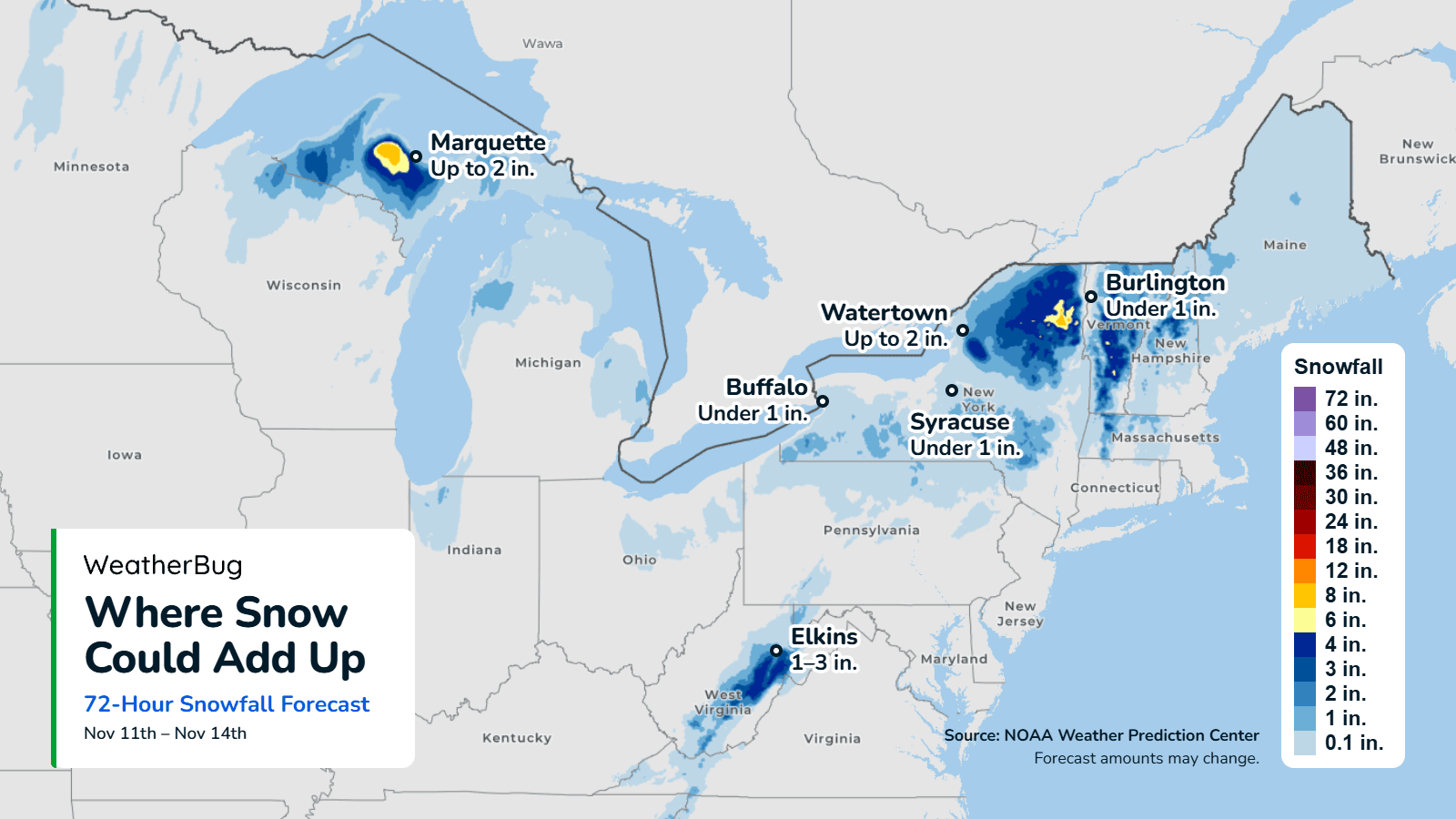
    Mostly cloudy. Snow and rain showers likely, mainly this evening. Total snow accumulation around an inch. Lows in the lower 30s. Northwest winds 5 to 10 mph with gusts up to 20 mph. Chance of precipitation 70 percent.

Erin, NY 10-day weather forecast

Precip Outlook

Light rain continuing for the next hour.

Precipitation outlook chart for Erin, NY for the next 60 minutes. Light rain for the next 60 minutes.
  • Rain
  • Frozen Mix
  • Snow

AIR QUALITY

Air Quality Index
13|Excellent
Top Triggers:
pm25
View Today's Air Quality details for Erin, NY

POLLEN COUNT & ALLERGY FORECAST

Pollen Count
0.1|Low
Predominant Pollen:
Ragweed
Erin, NY Pollen forecast details

Spark™ LIGHTNING MAP

Closest strike in the last 30 minutes:639.8 miles

No Lightning Nearby

Erin, NY real-time lightning alerts & live Map