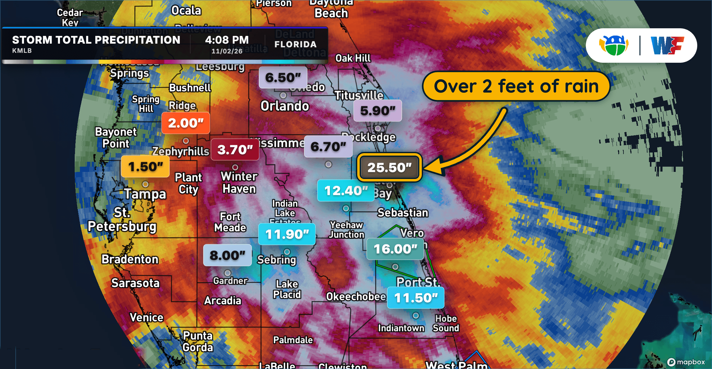
Extreme Rainfall Triggers Dangerous Flooding Across Central and East Florida
Extreme Rainfall Triggers Dangerous Flooding Across Central and East Florida
Read More
69degrees Fahrenheit

Feels like:69°
Hi:71°Lo:54°
50% Chance Rain Showers
Hi

Showers likely with a chance of thunderstorms. Highs in the lower 70s. South winds 15 to 20 mph with gusts up to 40 mph. Chance of rain 70 percent.
Lo

A chance of thunderstorms in the evening. Showers. Lows in the lower 50s. Northwest winds 5 to 10 mph with gusts up to 20 mph, increasing to north 15 to 20 mph with gusts up to 30 mph after midnight. Chance of rain 90 percent.

Closest strike in the last 30 minutes:49.9 miles
No Lightning Nearby


Extreme Rainfall Triggers Dangerous Flooding Across Central and East Florida