Northern Lights This Weekend: Will Clouds Block the View?
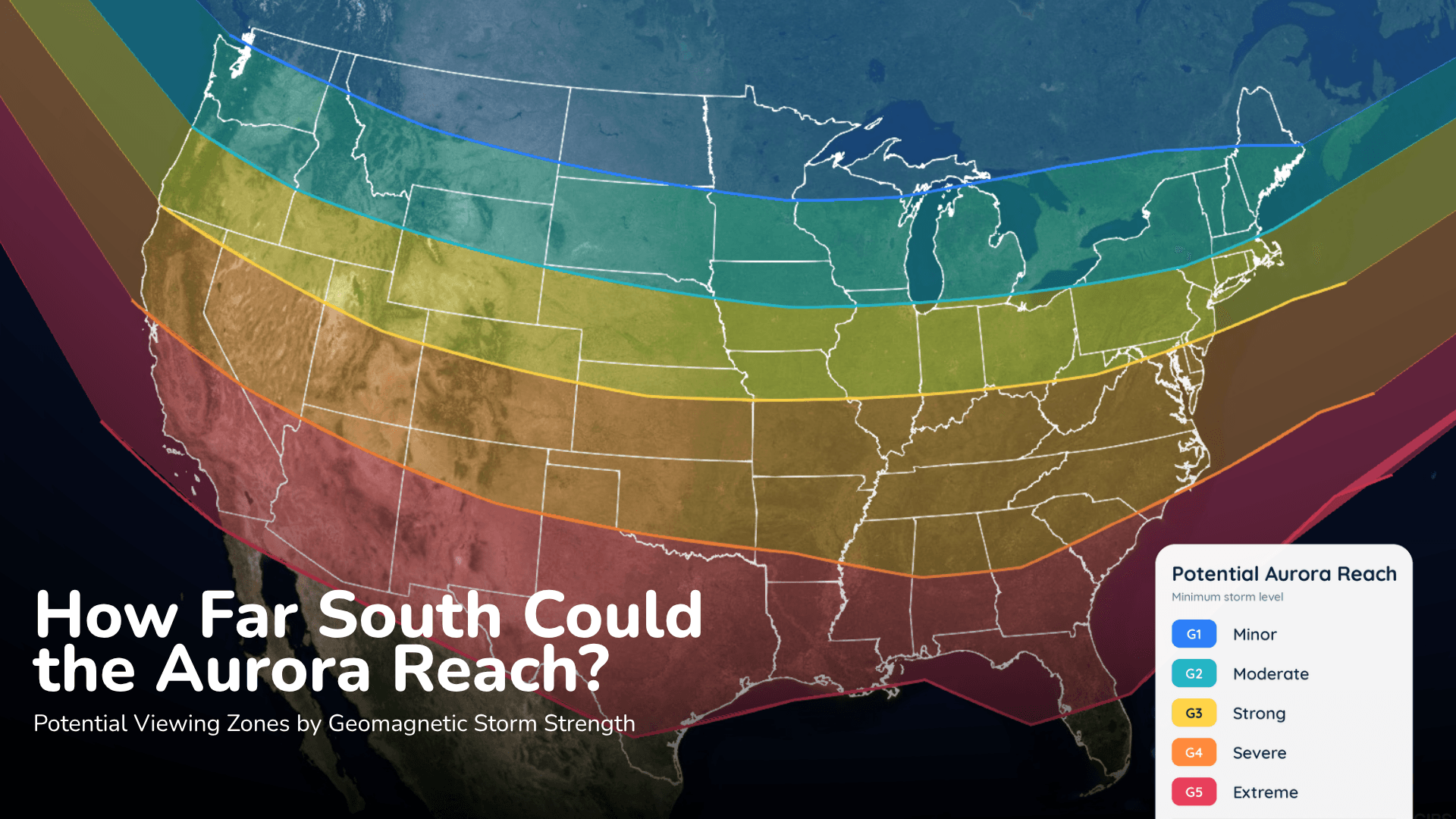
Aurora could reach parts of the northern United States Saturday night, but the cloud forecast may decide who actually sees it.
Read More
58degrees Fahrenheit

Feels like:58°
Hi:59°Lo:43°
Mostly Sunny
Hi

Mostly sunny. High temperature around 59F. Dew point will be around 37F with an average humidity of 43%. Winds will be 15 mph from the NW.
Lo

Mostly cloudy. Scattered rain showers this evening. Chance of rain 30 percent. Lows 37 to 42. Breezy. Northwest winds 10 to 20 mph with gusts to 30 mph.


Closest strike in the last 30 minutes:163.4 miles
No Lightning Nearby


Aurora could reach parts of the northern United States Saturday night, but the cloud forecast may decide who actually sees it.