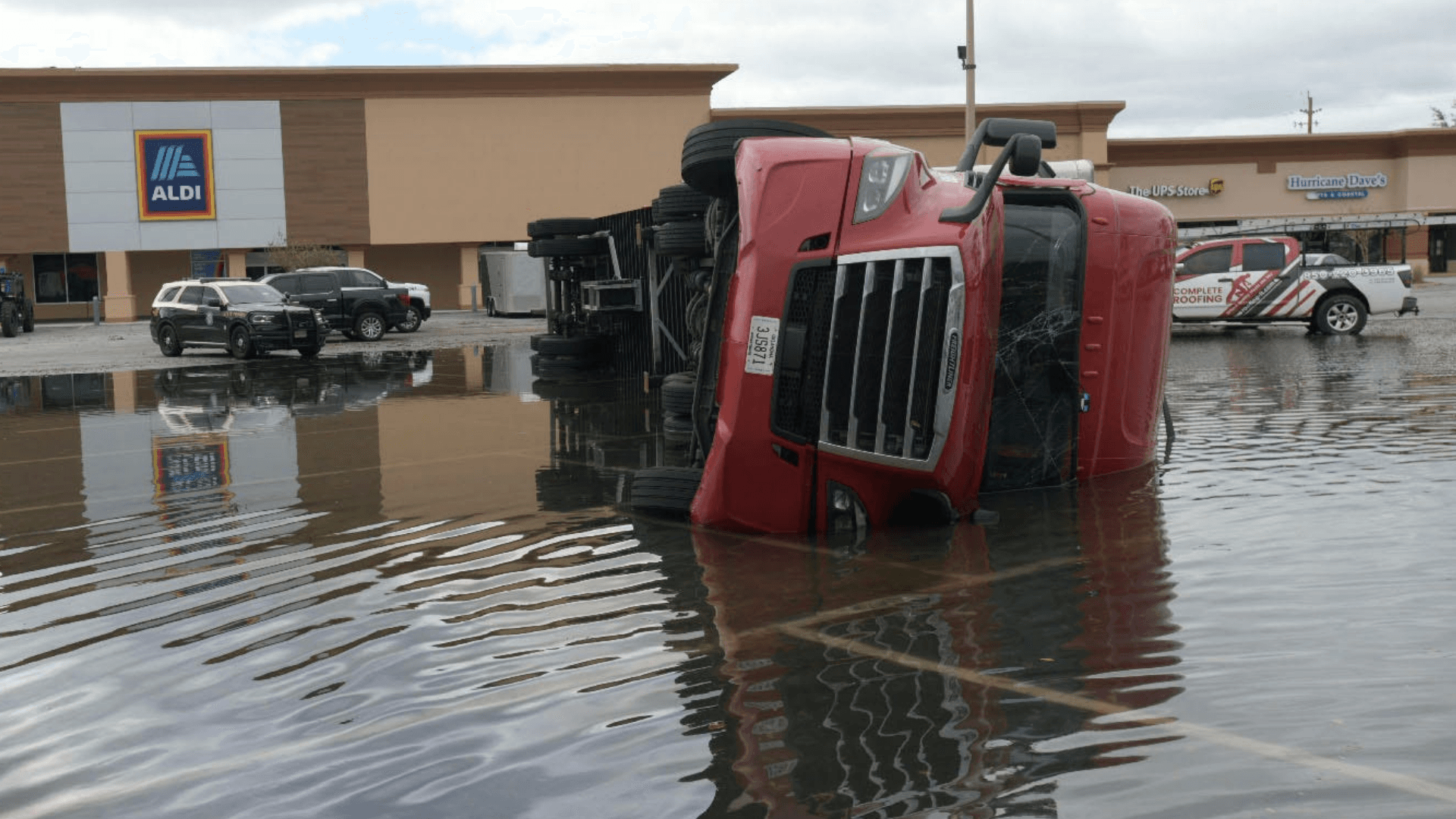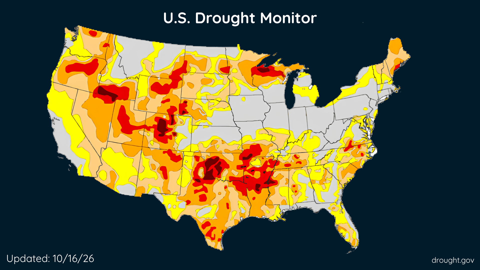
U.S. Drought Improves, Rain Brings Relief, but Some Areas Get Drier
The Southeast and parts of the West made progress this week, while drought deepened across portions of the country’s middle.
Read More
77degrees Fahrenheit

Feels like:77°
Hi:80°Lo:49°
40% Chance Rain Showers
Hi

Showers with a chance of thunderstorms. Some thunderstorms may be severe with damaging winds. Warmer with highs in the upper 70s. Southwest winds 10 to 15 mph with gusts up to 30 mph. Chance of rain near 100 percent.
Lo

Mostly cloudy. A chance of showers and thunderstorms in the evening. Some thunderstorms may be severe with damaging winds. Cooler. Less humid with lows in the upper 40s. Northwest winds 10 to 15 mph with gusts up to 30 mph. Chance of rain 50 percent.

Closest strike in the last 30 minutes:38.8 miles
No Lightning Nearby


The Southeast and parts of the West made progress this week, while drought deepened across portions of the country’s middle.