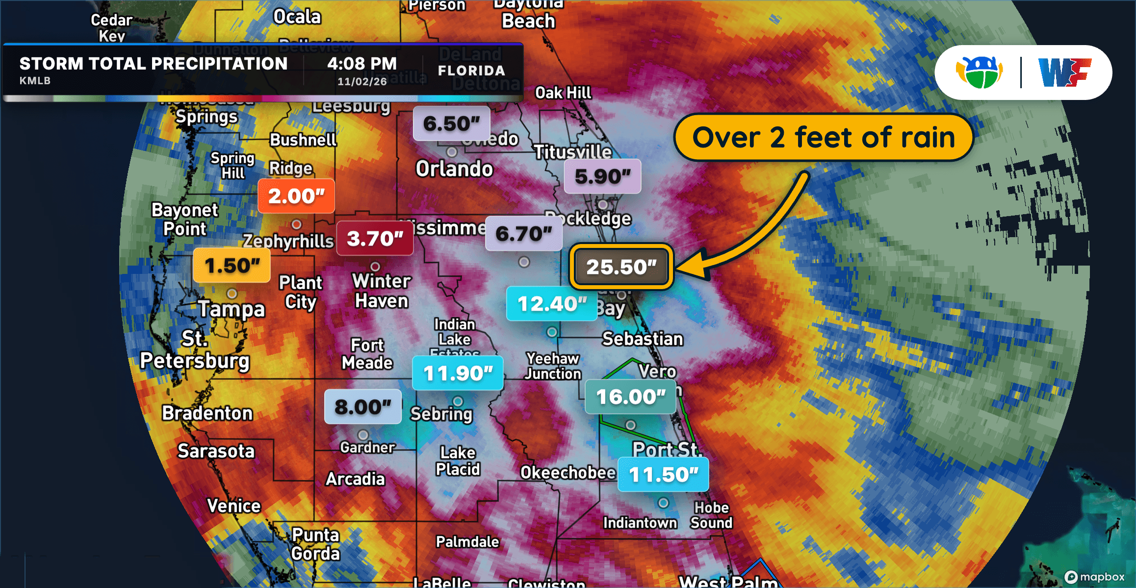
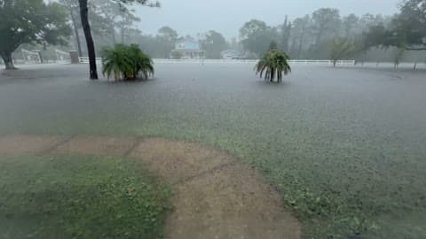
Extreme Rainfall Triggers Dangerous Flooding Across Central and East Florida
Extreme Rainfall Triggers Dangerous Flooding Across Central and East Florida
Read More
58degrees Fahrenheit

Feels like:58°
Hi:65°Lo:58°
60% Chance of Light Rain
Hi

Cloudy with a 50 percent chance of rain showers. Highs around 70. South winds 10 to 20 mph with gusts to around 35 mph.
Lo

Cloudy with a 50 percent chance of rain showers. Lows in the upper 50s. South winds 5 to 15 mph with gusts to around 30 mph.

Light rain starting in 24 minutes.
Closest strike in the last 30 minutes:511.0 miles
No Lightning Nearby


Extreme Rainfall Triggers Dangerous Flooding Across Central and East Florida