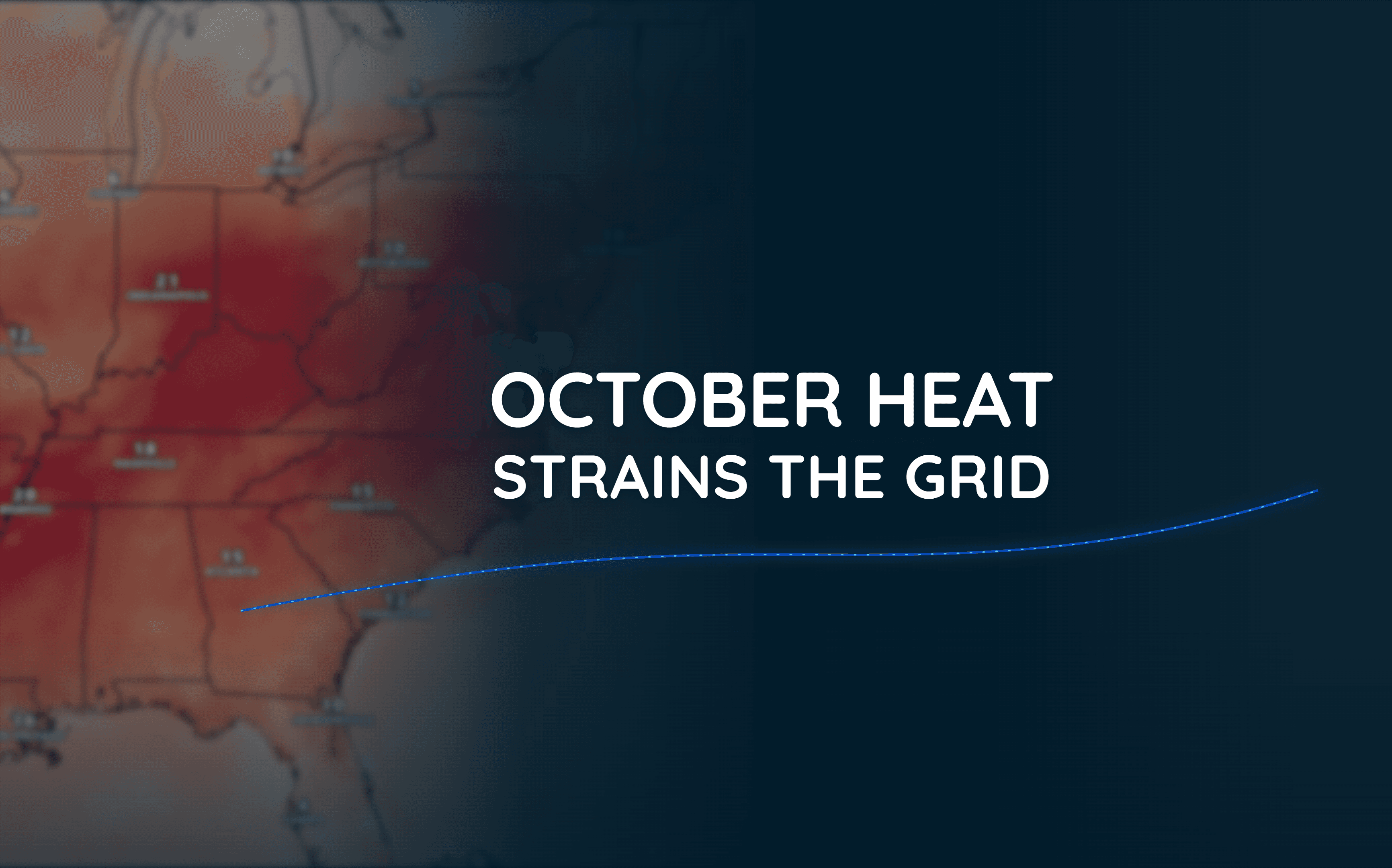
Unusual October Heat Puts Eastern US Power Grid Under Pressure
Temperatures more than 10°F above normal in some areas are contributing to unusually high electricity demand, prompting federal action to help maintain grid reliability.
Read More
76degrees Fahrenheit

Feels like:76°
Hi:84°Lo:58°
50% Chance Rain Showers
Hi

Mostly cloudy this morning, then becoming mostly sunny. Patchy dense fog this morning. A chance of showers. A slight chance of thunderstorms this morning, then a chance of thunderstorms this afternoon. Highs in the mid 80s. Southeast winds around 5 mph, becoming south this afternoon. Chance of rain 50 percent.
Lo

Partly cloudy with a chance of showers and thunderstorms in the evening, then mostly cloudy with a slight chance of showers after midnight. Cooler with lows in the lower 50s. Southwest winds around 10 mph, becoming west 15 to 20 mph after midnight. Chance of rain 50 percent.


Closest strike in the last 30 minutes:134.0 miles
No Lightning Nearby