

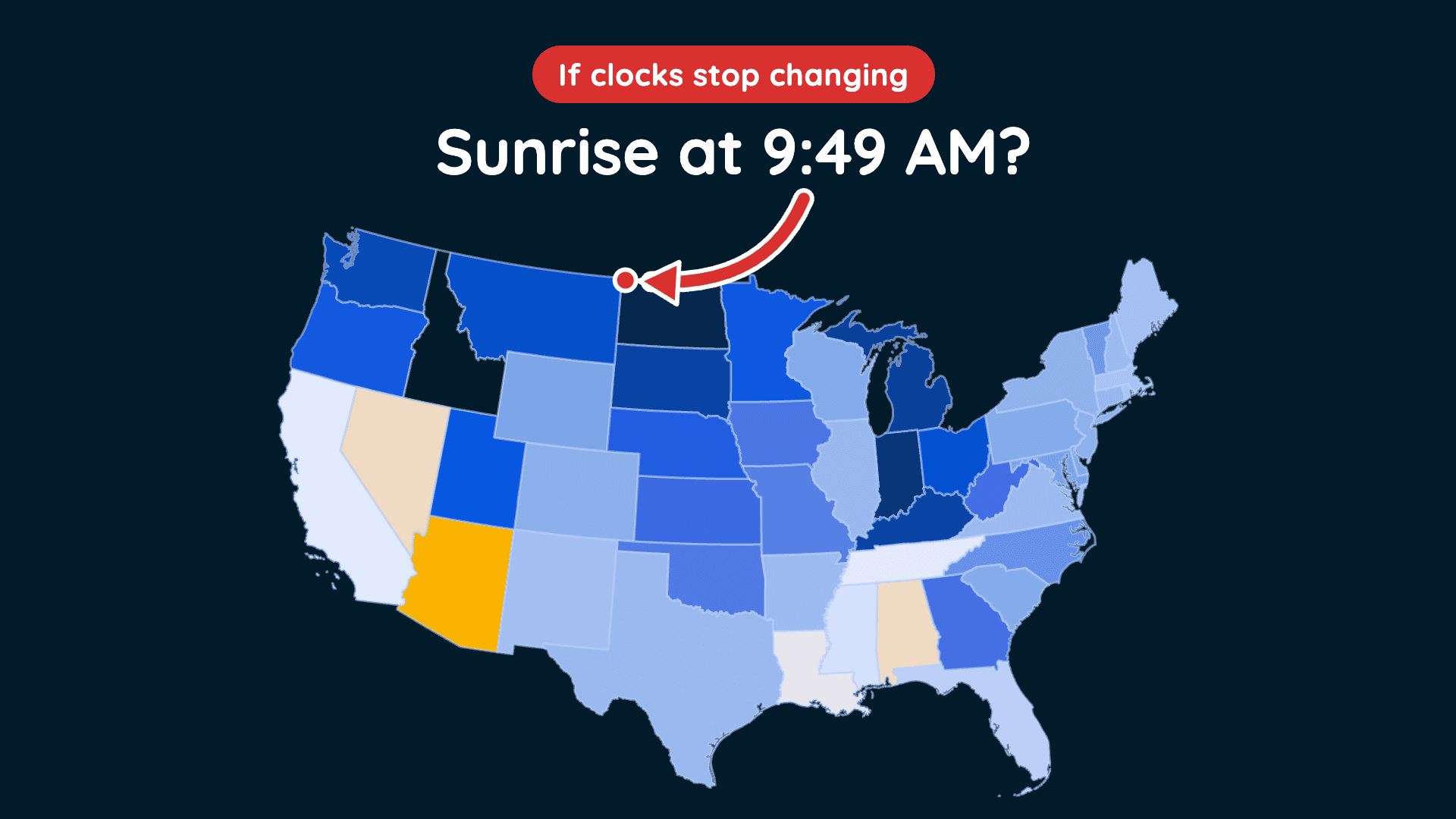
Could This Be the Last Time We Fall Back?
Clocks fall back November 1, but a proposed law could change how we experience daylight year-round.
Read More
42degrees Fahrenheit

Feels like:37°
Hi:48°Lo:42°
80% Chance of Light Rain
Hi

Cloudy with probable rain. Chance of precipitation 80%. High temperature around 48F. Dew point will be around 43F with an average humidity of 81%. Winds will be 10 mph from the NE.
Lo

Rain in the evening, then rain likely after midnight. Chance of rain late in the night. Near steady temperature in the lower 40s. East winds 5 to 15 mph with gusts to around 30 mph. Chance of rain near 100 percent.


Rain ending in 11 minutes, starting again in 18 minutes.
Closest strike in the last 30 minutes:1004.2 miles
No Lightning Nearby


Clocks fall back November 1, but a proposed law could change how we experience daylight year-round.




