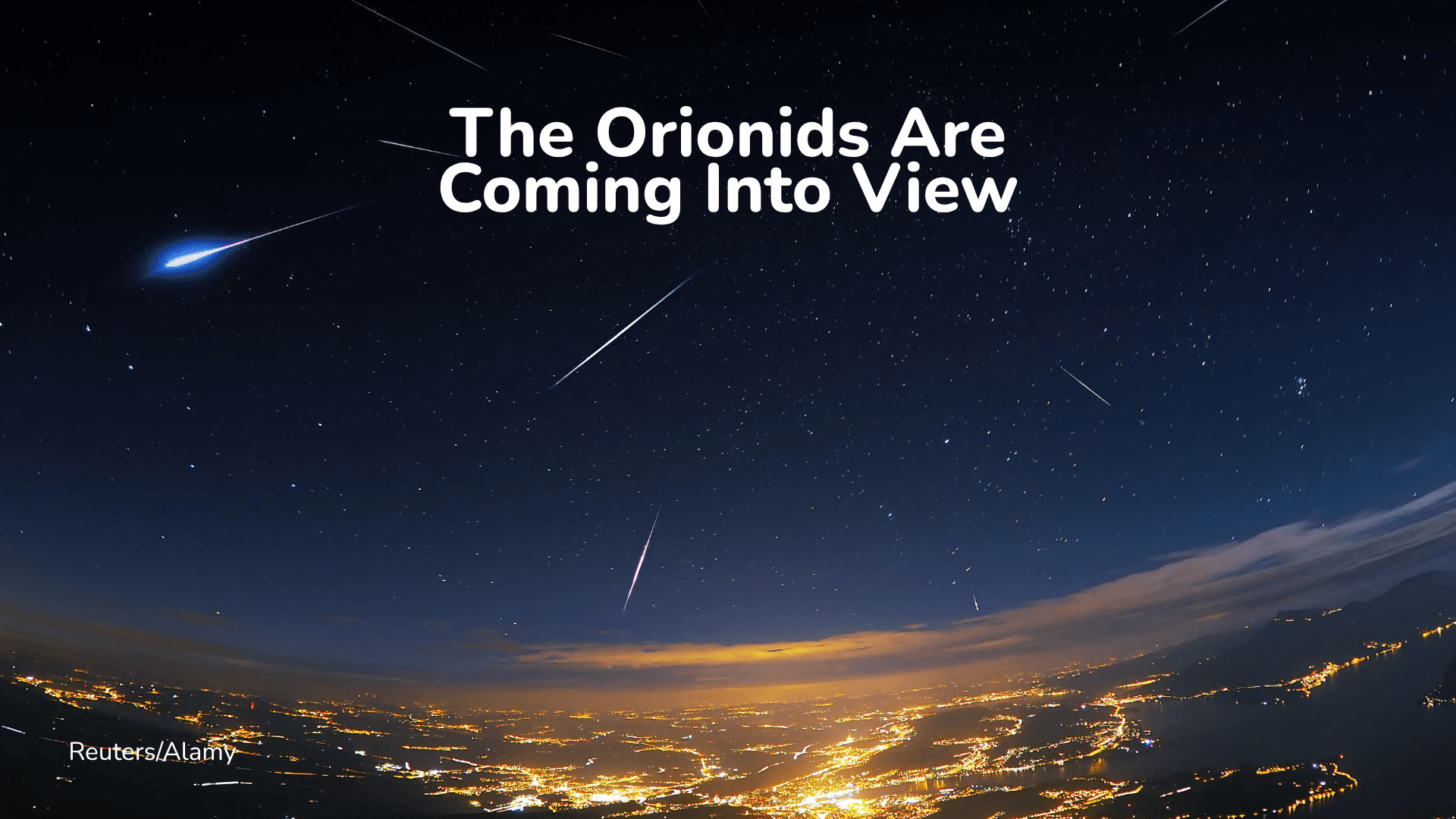
Orionid Meteor Shower 2026: When and How to Watch
Halley’s Comet left something behind. Here’s when to look for it, and why moonlight matters this year.
Read More
69degrees Fahrenheit

Feels like:69°
Hi:87°Lo:67°
Clear
Hi

Mostly sunny in the morning, then partly cloudy with a 10 percent chance of showers and thunderstorms in the afternoon. Highs 83 to 89. South wind 5 to 15 mph.
Lo

Mostly cloudy with a 10 percent chance of showers and thunderstorms. Lows 63 to 69. South wind around 10 mph.

Closest strike in the last 30 minutes:185.0 miles
No Lightning Nearby


Halley’s Comet left something behind. Here’s when to look for it, and why moonlight matters this year.