What to Do When the Hurricane Is Over
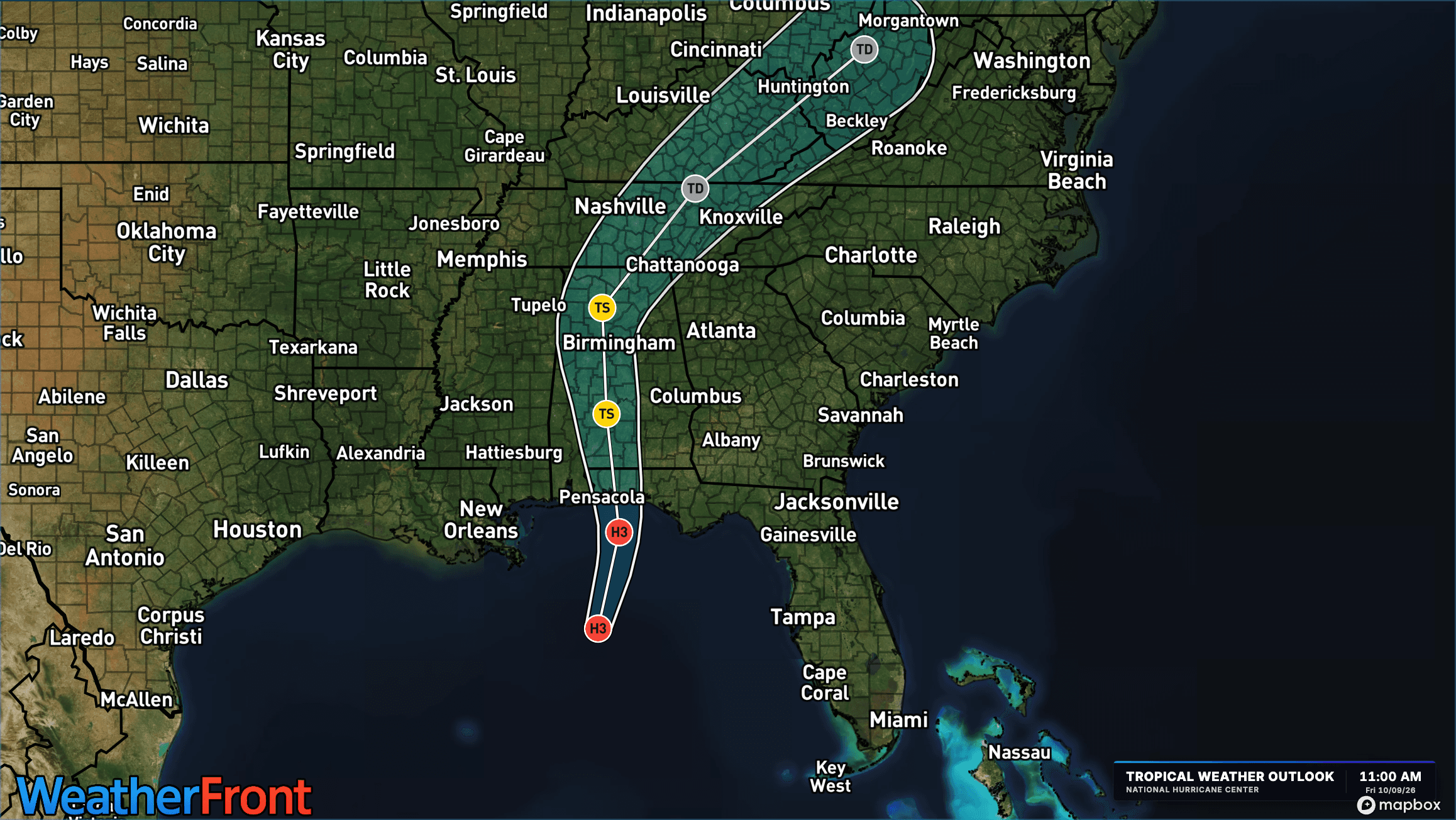
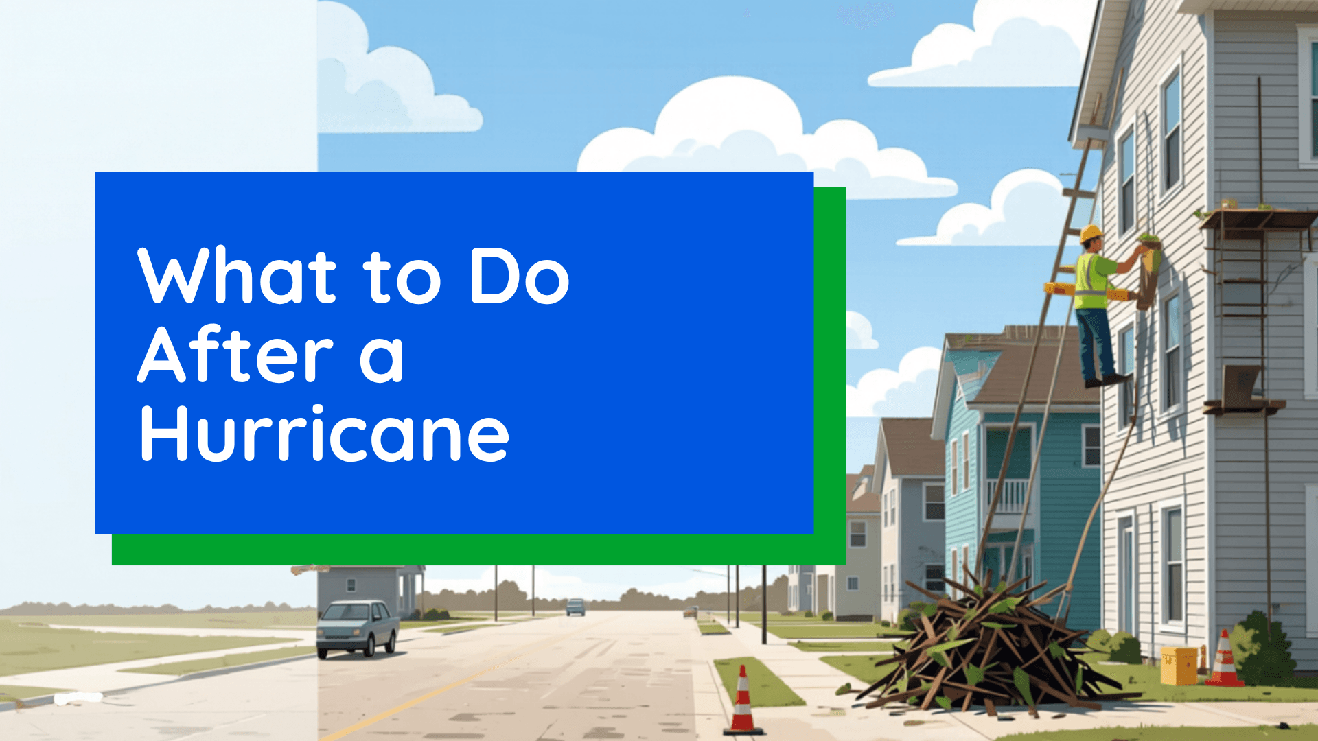
The hurricane may be gone, but the danger isn't. From hidden floodwaters to downed power lines, here's how to stay safe and start recovering after a hurricane.
Read More
36degrees Fahrenheit

Feels like:28°
Hi:40°Lo:33°
Light Rain
Hi

Rain showers possibly mixed with snow showers early in the morning, then rain showers in the afternoon. Highs in the lower 40s. Northeast winds 5 to 10 mph with gusts up to 20 mph.
Lo

Cloudy. A chance of rain showers in the evening. Lows in the lower 30s. Northwest winds around 5 mph. Chance of rain 30 percent.

Rain ending in 9 minutes, starting again in 49 minutes.
Closest strike in the last 30 minutes:200.4 miles
No Lightning Nearby


The hurricane may be gone, but the danger isn't. From hidden floodwaters to downed power lines, here's how to stay safe and start recovering after a hurricane.