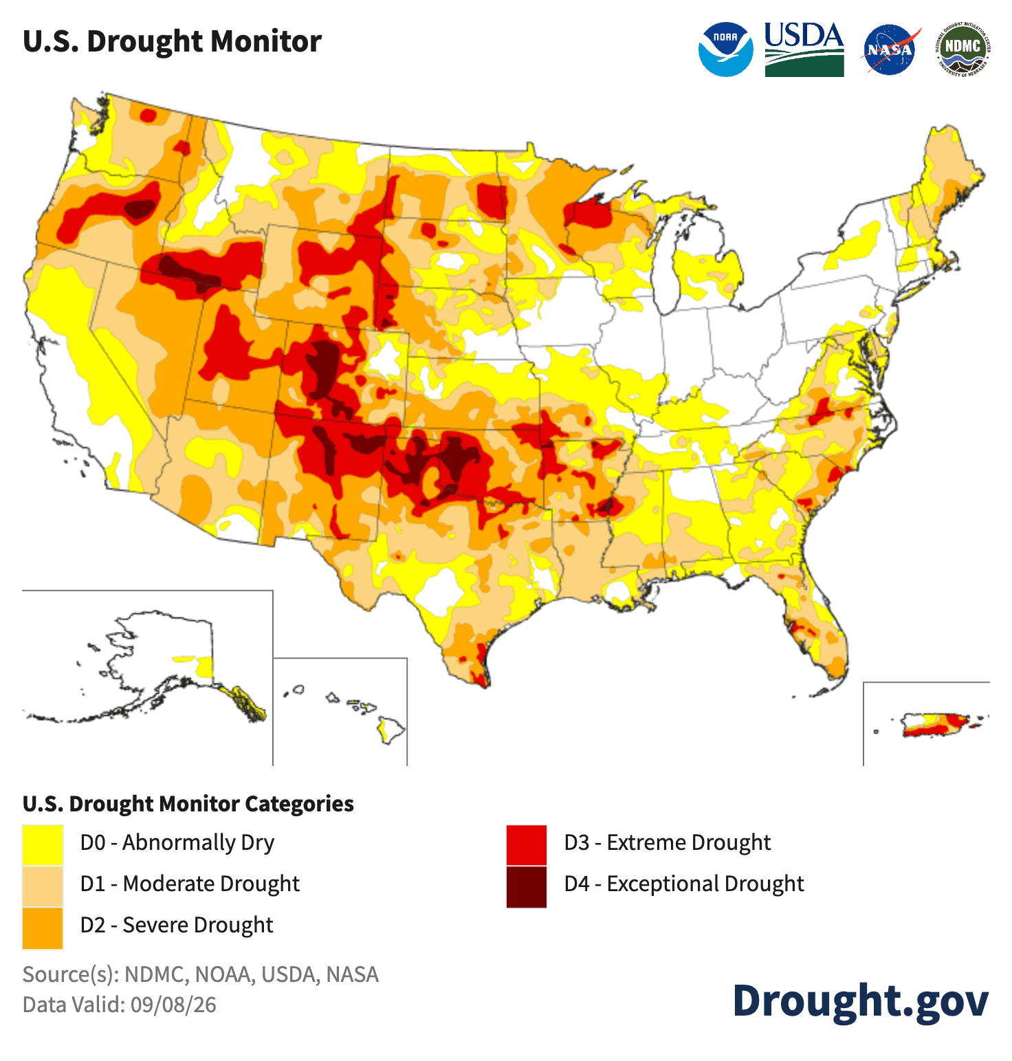
The Real Meaning Behind “Super El Niño”
A “Super El Niño” is an unusually strong El Niño. This year’s event has a real chance of becoming one of the strongest on record.
Read More
59degrees Fahrenheit

Feels like:59°
Hi:76°Lo:49°
Partly Cloudy
Lo

Partly cloudy with probable rain. Chance of precipitation 65%. Low temperature around 49F. Dew point will be around 38F with an average humidity of 55%. Winds will be 8 mph from the W.
Hi

Sunny. A 20 percent chance of rain showers early in the morning. Highs in the mid 60s. Northwest winds 10 to 20 mph.

Closest strike in the last 30 minutes:152.3 miles
No Lightning Nearby