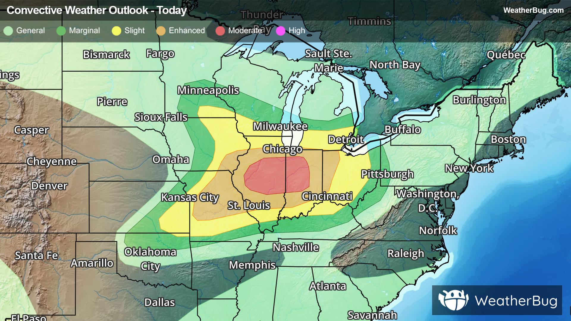
Severe Weather Outbreak Targets the Midwest
An outbreak of severe weather is expected across the Midwest today, including the risk for intense tornadoes.
Read More

Light Rain
Hi

Breezy. Rain and slight chance of thunderstorms late in the morning then rain showers with thunderstorms likely in the afternoon. Locally heavy rainfall possible early in the afternoon. Highs in the mid 60s. Southeast winds 10 to 15 mph increasing to 15 to 25 mph in the afternoon. Chance of precipitation near 100 percent.
Lo

Mostly cloudy. Chance of light rain showers and thunderstorms in the evening then slight chance of light rain showers in the late evening and early morning. Lows in the mid 50s. West winds 5 to 15 mph with gusts to around 30 mph. Chance of precipitation 30 percent.
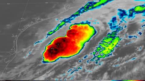

Closest strike in the last 30 minutes:130.3 miles
No Lightning Nearby