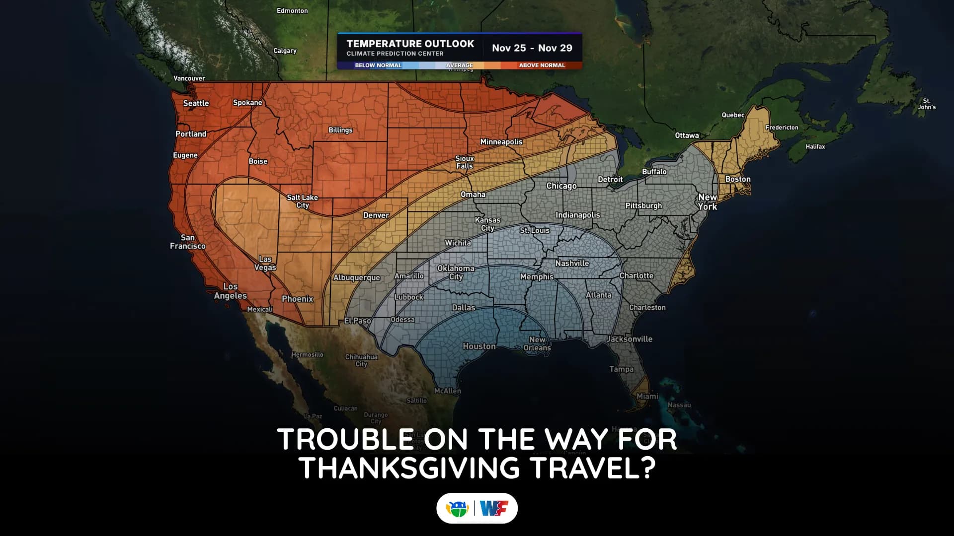
Thanksgiving Travel Weather Forecast 2026: Where Rain and Snow Could Slow You Down
It is still early, but a few potential trouble spots are beginning to show up
Read More
39degrees Fahrenheit

Feels like:31°
Hi:40°Lo:28°
50% Chance of Light Rain
Hi

Rain and snow showers likely. Little or no snow accumulation. Northwest winds 5 to 15 mph with gusts up to 30 mph. Chance of precipitation 70 percent.
Lo

Rain showers in the evening. Snow showers. Snow accumulation of 2 to 4 inches. Lows in the mid 20s. Northwest winds 5 to 10 mph, becoming north after midnight. Gusts up to 25 mph. Chance of precipitation 100 percent.

Rain ending in 16 minutes.
Closest strike in the last 30 minutes:900.5 miles
No Lightning Nearby


It is still early, but a few potential trouble spots are beginning to show up