

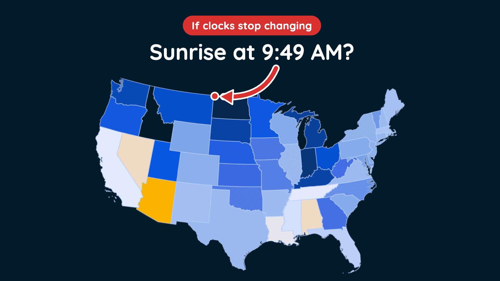
Could This Be the Last Time We Fall Back?
Clocks fall back November 1, but a proposed law could change how we experience daylight year-round.
Read More
68degrees Fahrenheit

Feels like:68°
Hi:72°Lo:58°
30% Chance Rain Showers
Lo

Partly cloudy with widely scattered thunderstorms. Chance of storms 22%. Low temperature around 58F. Dew point will be around 43F with an average humidity of 65%. Winds will be 12 mph from the W.
Hi

Mostly sunny with a 26% chance for rain and thunderstorms. High temperature around 72F. Dew point will be around 53F with an average humidity of 47%. Winds will be 15 mph from the SW.

Closest strike in the last 30 minutes:695.4 miles
No Lightning Nearby


Clocks fall back November 1, but a proposed law could change how we experience daylight year-round.




