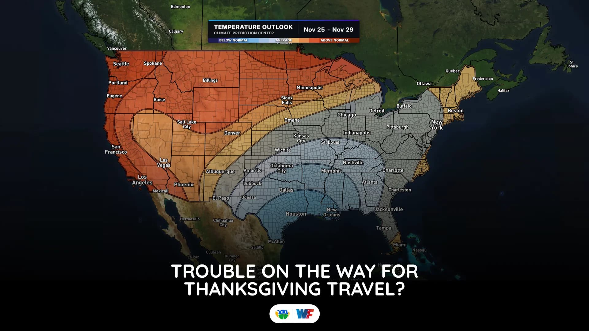
Thanksgiving Travel Weather Forecast 2026: Where Rain and Snow Could Slow You Down
It is still early, but a few potential trouble spots are beginning to show up
Read More
42degrees Fahrenheit

Feels like:37°
Hi:42°Lo:27°
40% Chance of Light Rain
Hi

Cloudy with a 20 percent chance of rain showers. Northwest winds 10 to 15 mph with gusts up to 40 mph.
Lo

Snow showers with a chance of rain showers in the evening, then snow showers likely after midnight. Snow accumulation up to 1 inch. Lows around 30. Northwest winds 10 to 15 mph, becoming north after midnight. Gusts up to 30 mph. Chance of precipitation 90 percent.

Rain ending in 20 minutes.
Closest strike in the last 30 minutes:856.1 miles
No Lightning Nearby


It is still early, but a few potential trouble spots are beginning to show up