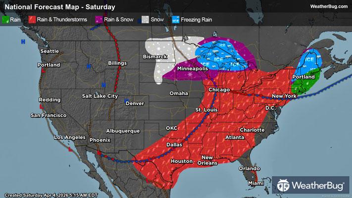
Gusty Thunderstorms Stretch From the Eastern Lakes to the South
Gusty thunderstorms will stretch from the eastern Great Lakes to Texas today.
Read More
Weather Station:WeatherBug
32degrees Fahrenheit
Feels like:27°F
Hi: 32Lo: 26
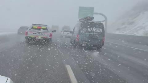
70% Chance of Heavy Snow
Hi31°F
Snow showers sleet a slight chance of rain showers and freezing rain late this morning then snow showers likely with possible rain showers freezing rain and sleet this afternoon. Snow and sleet accumulation around an inch. Ice accumulation up to a tenth of an inch. Near steady temperature in the lower 30s. East winds 5 to 15 mph with gusts up to 30 mph. Chance of precipitation 90 percent.
Lo26°F
Snow showers likely in the evening then a chance of snow showers after midnight. Cloudy. Snow accumulation of 1 to 3 inches. Lows around 27. Northwest winds 5 to 15 mph inland except northwest 15 to 25 mph near the shore. Chance of snow 70 percent.
21 | Fair
0.5 Low
Closest strike in the last 30 minutes:448.1 miles
No Lightning Nearby