

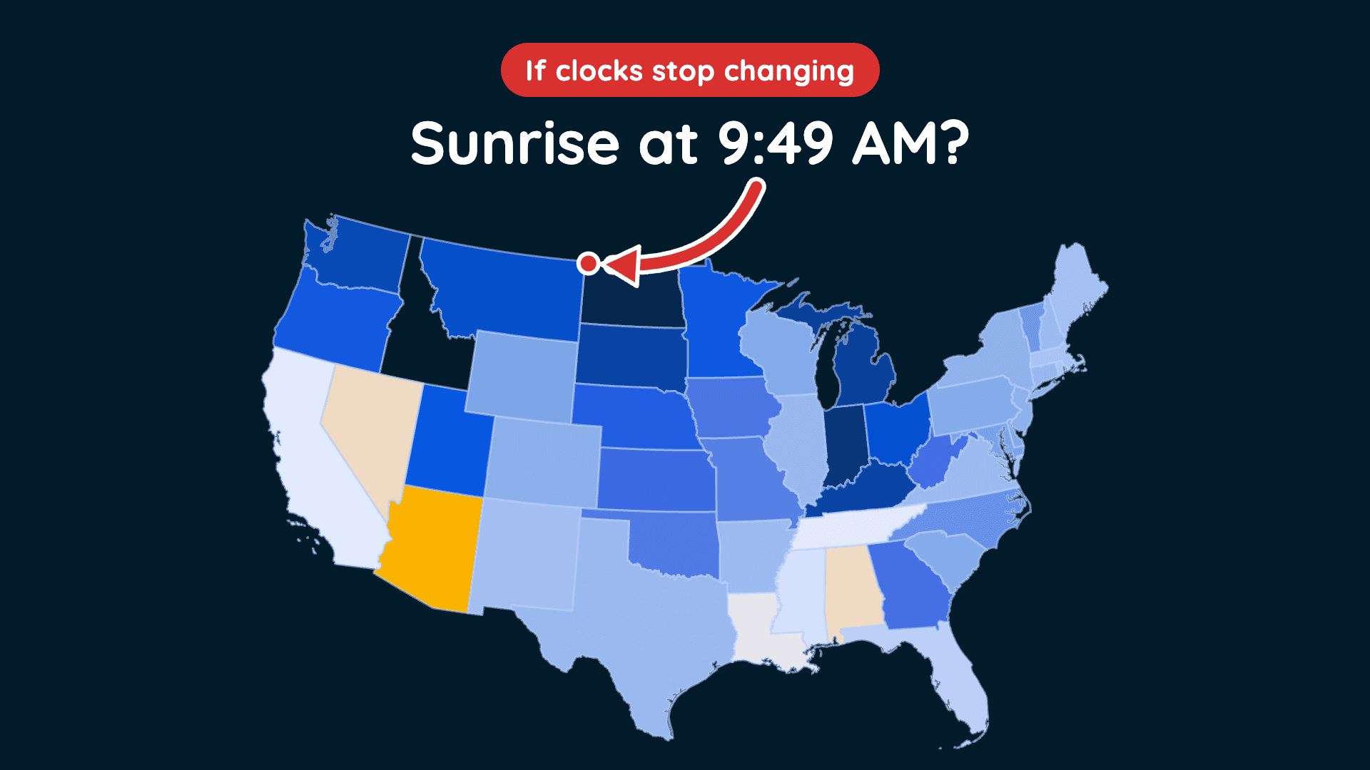
Could This Be the Last Time We Fall Back?
Clocks fall back November 1, but a proposed law could change how we experience daylight year-round.
Read More
52degrees Fahrenheit

Feels like:52°
Hi:56°Lo:44°
70% Chance of Light Rain
Hi

Patchy fog in the morning. Showers. Highs in the upper 50s. Winds light. Chance of rain 90 percent. Rainfall amounts less than a tenth of an inch.
Lo

A chance of showers in the evening, then showers after midnight. Lows in the lower 40s. Southwest wind 10 to 15 mph. Gusts up to 35 mph after midnight. Chance of rain near 100 percent. Rainfall amounts a tenth to a quarter of an inch.

Closest strike in the last 30 minutes:1311.4 miles
No Lightning Nearby


Clocks fall back November 1, but a proposed law could change how we experience daylight year-round.




