


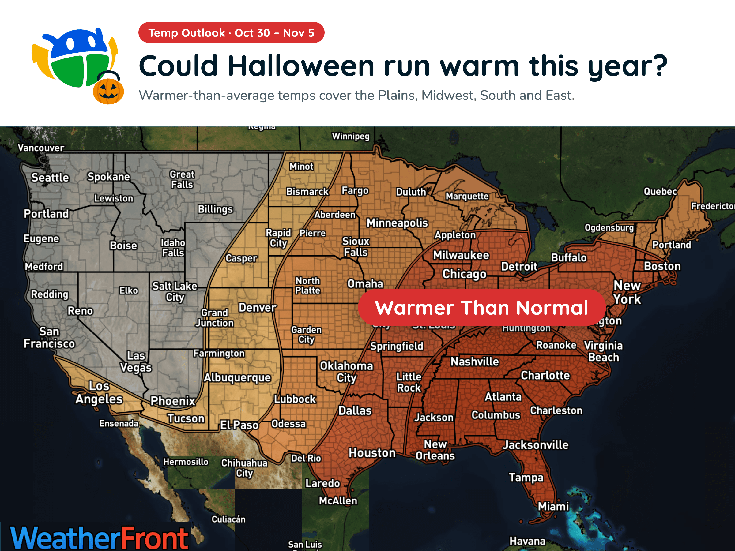
Halloween Weather Outlook: A Warm-Up for Much of the U.S. 🎃
Warmer-than-average temperatures could stick around into early November, but will you need a jacket over your Halloween costume?
Read More
48degrees Fahrenheit

Feels like:47°
Hi:54°Lo:46°
40% Chance of Light Rain
Hi

Mostly cloudy. A chance of rain in the morning, then a slight chance of rain in the afternoon. Highs in the 50s. Southeast wind 10 to 15 mph with gusts to 25 mph.
Lo
Mostly cloudy. A slight chance of rain in the evening. Lows in the 40s. East wind to 10 mph in the evening becoming light.


Rain ending in 3 minutes, starting again in 48 minutes.
Closest strike in the last 30 minutes:1169.2 miles
No Lightning Nearby


Warmer-than-average temperatures could stick around into early November, but will you need a jacket over your Halloween costume?




