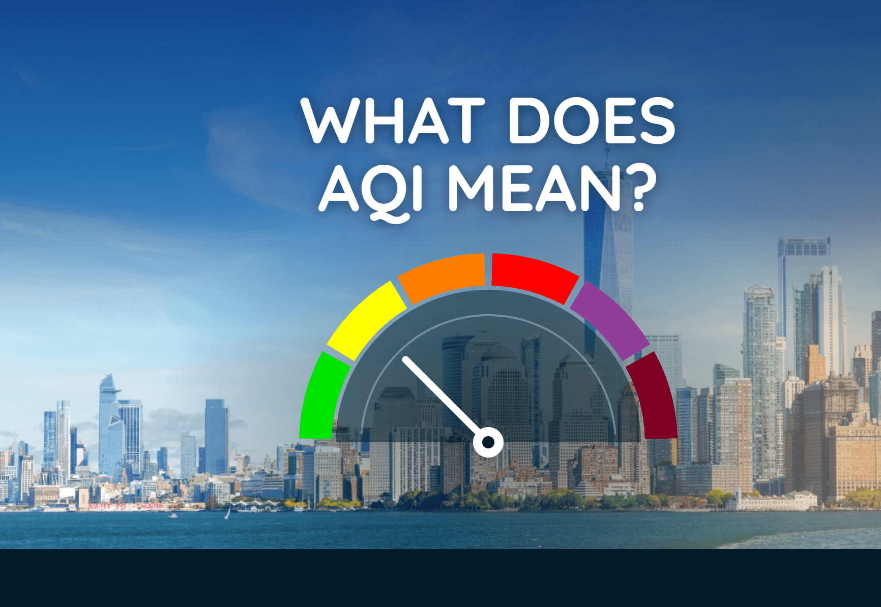
What Does AQI Mean? How to Read Air Quality Levels
The Air Quality Index turns pollution data into a simple number and color that can help you decide when to adjust outdoor plans.
Read More
67degrees Fahrenheit

Feels like:67°
Hi:70°Lo:54°
30% Chance of Light Rain
Hi

Showers likely with a chance of thunderstorms. Breezy. Near steady temperature in the upper 60s. South winds 15 to 25 mph with gusts up to 40 mph. Chance of rain 70 percent.
Lo

A slight chance of thunderstorms in the evening. Showers likely. Lows around 50. Northwest winds 5 to 10 mph with gusts up to 20 mph, increasing to 15 to 20 mph with gusts up to 35 mph after midnight. Chance of rain 70 percent.


Closest strike in the last 30 minutes:227.6 miles
No Lightning Nearby


The Air Quality Index turns pollution data into a simple number and color that can help you decide when to adjust outdoor plans.