Why Fall Has a Second Severe Weather Season
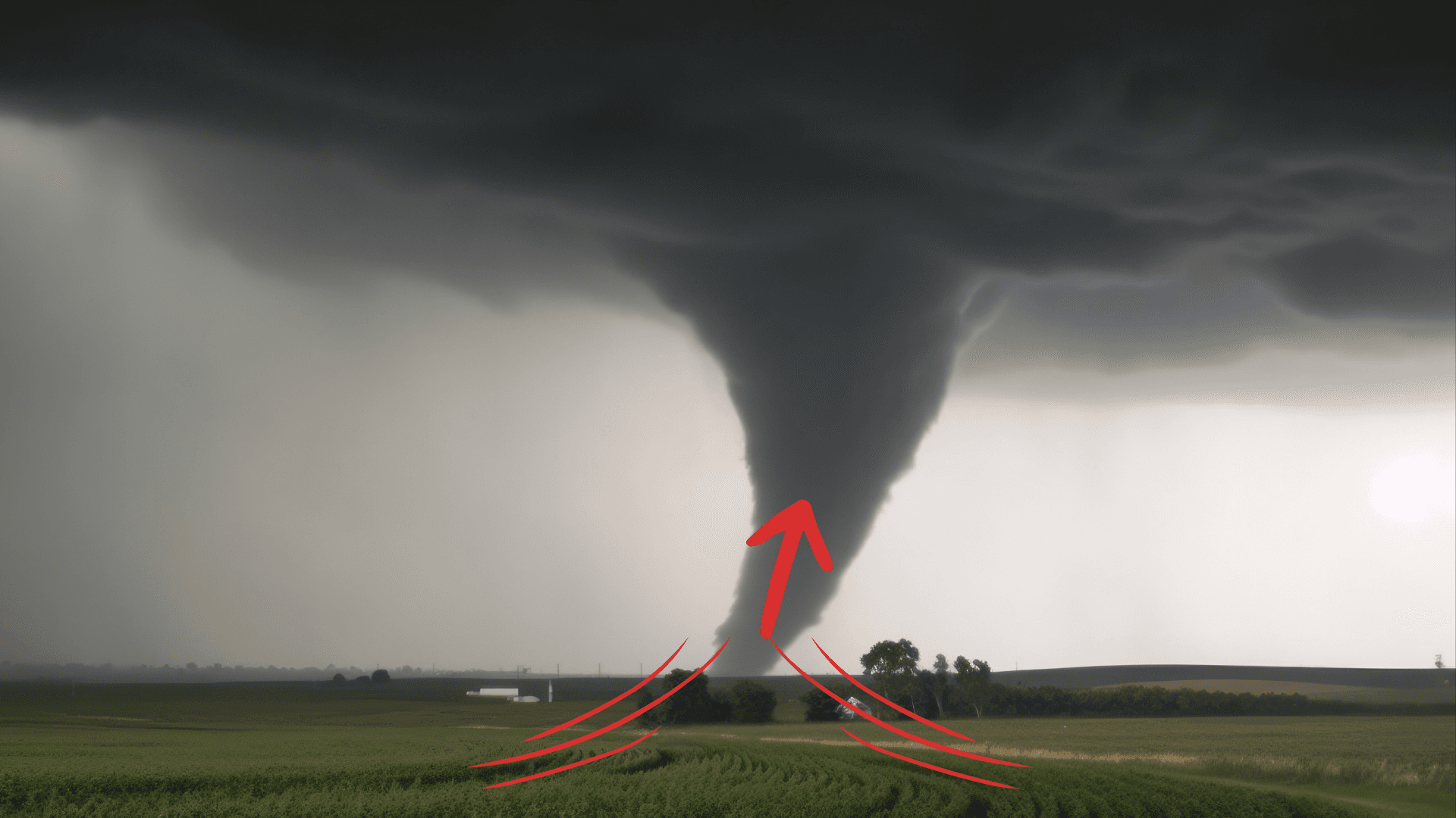
Cooler weather doesn’t end the tornado threat. In parts of the U.S., fall brings another round of conditions that can fuel dangerous storms.
Read More
# HEADLINE -------------------- HIGH SURF ADVISORY REMAINS IN EFFECT UNTIL 4 AM EDT TUESDAY HIGH RIP CURRENT RISK REMAINS IN EFFECT THROUGH LATE MONDAY NIGHT # DETAILS -------------------- WHAT For the High Surf Advisory, large breaking waves of 7 to 11 feet in the surf zone. For the High Rip Current Risk, dangerous rip currents. WHERE Coastal Volusia, Coastal Indian River, Coastal Saint Lucie, Coastal Martin, Mainland Northern Brevard, Northern Brevard Barrier Islands, Mainland Southern Brevard and Southern Brevard Barrier Islands Counties. WHEN For the High Surf Advisory, until 4 AM EDT Tuesday. For the High Rip Current Risk, through late Monday night. IMPACTS Dangerous swimming and surfing conditions and localized beach erosion. Rip currents can sweep even the best swimmers away from shore into deeper water. ISSUED AT Sunday, October 18, 2026 at 2:56 AM EDT ISSUED BY National Weather Service Melbourne FL HEADER Coastal Hazard Message # PRECAUTIONARY/PREPAREDNESS ACTIONS -------------------- High surf will affect the beaches in the advisory area, producing localized beach erosion and dangerous swimming conditions. Swimmers should remain out of the water due to large breaking waves and dangerous surf conditions. Rip currents are powerful channels of water flowing quickly away from shore, which occur most often at low spots or breaks in the sandbar and in the vicinity of structures such as jetties and piers. Heed the advice of lifeguards, beach patrol flags and signs. Entering the surf is strongly discouraged. If caught in a rip current, relax and float. Don't swim against the current. If able, swim in a direction following the shoreline. If unable to escape, face the shore and call or wave for help. # AREAS AFFECTED -------------------- Coastal Martin, Northern Brevard Barrier Islands, Southern Brevard Barrier Islands, Coastal Indian River, Coastal Saint Lucie, Coastal Volusia, Mainland Northern Brevard, Mainland Southern Brevard
# HEADLINE -------------------- HIGH SURF ADVISORY REMAINS IN EFFECT UNTIL 4 AM EDT TUESDAY HIGH RIP CURRENT RISK REMAINS IN EFFECT THROUGH LATE MONDAY NIGHT # DETAILS -------------------- WHAT For the High Surf Advisory, large breaking waves of 7 to 11 feet in the surf zone. For the High Rip Current Risk, dangerous rip currents. WHERE Coastal Volusia, Coastal Indian River, Coastal Saint Lucie, Coastal Martin, Mainland Northern Brevard, Northern Brevard Barrier Islands, Mainland Southern Brevard and Southern Brevard Barrier Islands Counties. WHEN For the High Surf Advisory, until 4 AM EDT Tuesday. For the High Rip Current Risk, through late Monday night. IMPACTS Dangerous swimming and surfing conditions and localized beach erosion. Rip currents can sweep even the best swimmers away from shore into deeper water. ISSUED AT Sunday, October 18, 2026 at 2:56 AM EDT ISSUED BY National Weather Service Melbourne FL HEADER Coastal Hazard Message # PRECAUTIONARY/PREPAREDNESS ACTIONS -------------------- High surf will affect the beaches in the advisory area, producing localized beach erosion and dangerous swimming conditions. Swimmers should remain out of the water due to large breaking waves and dangerous surf conditions. Rip currents are powerful channels of water flowing quickly away from shore, which occur most often at low spots or breaks in the sandbar and in the vicinity of structures such as jetties and piers. Heed the advice of lifeguards, beach patrol flags and signs. Entering the surf is strongly discouraged. If caught in a rip current, relax and float. Don't swim against the current. If able, swim in a direction following the shoreline. If unable to escape, face the shore and call or wave for help. # AREAS AFFECTED -------------------- Coastal Martin, Northern Brevard Barrier Islands, Southern Brevard Barrier Islands, Coastal Indian River, Coastal Saint Lucie, Coastal Volusia, Mainland Northern Brevard, Mainland Southern Brevard
# HEADLINE -------------------- WIND ADVISORY IN EFFECT UNTIL 8 PM EDT THIS EVENING # DETAILS -------------------- WHAT Northeast winds 20 to 25 mph with gusts up to 40 mph. WHERE Coastal Indian River, Mainland Southern Brevard, and Southern Brevard Barrier Islands Counties. WHEN Until 8 PM EDT this evening. IMPACTS Gusty winds will blow around unsecured objects. Tree limbs could be blown down and a few power outages may result. ISSUED AT Sunday, October 18, 2026 at 1:47 AM EDT ISSUED BY National Weather Service Melbourne FL HEADER URGENT - WEATHER MESSAGE # PRECAUTIONARY/PREPAREDNESS ACTIONS -------------------- Winds this strong can make driving difficult, especially for high profile vehicles. Use extra caution. # AREAS AFFECTED -------------------- Coastal Indian River, Mainland Southern Brevard, Southern Brevard Barrier Islands Including the cities of Satellite Beach, Cocoa, Rockledge, Cocoa Beach, Vero Beach, Sebastian, Melbourne Beach, and Melbourne
Cooler weather doesn’t end the tornado threat. In parts of the U.S., fall brings another round of conditions that can fuel dangerous storms.