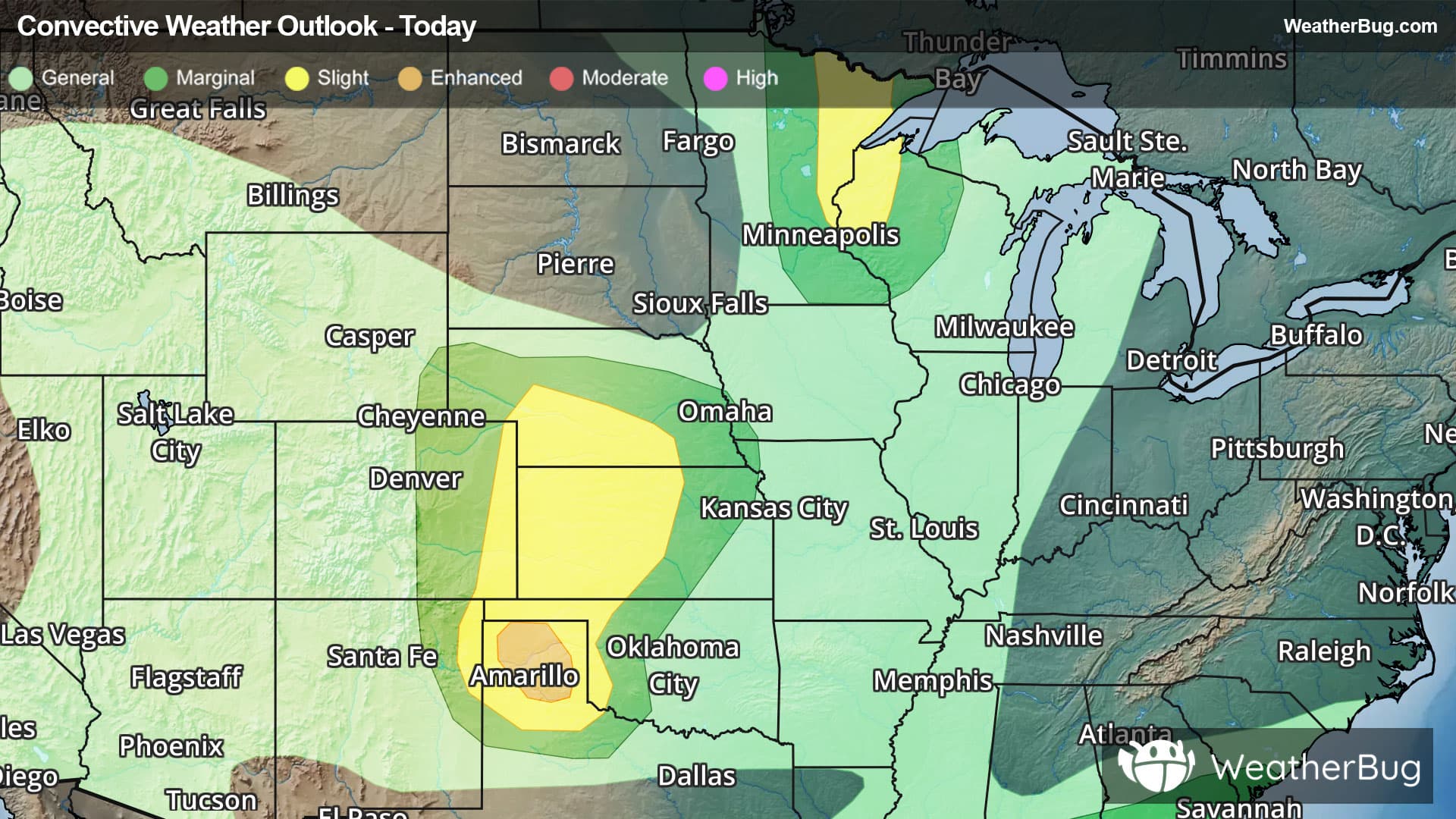
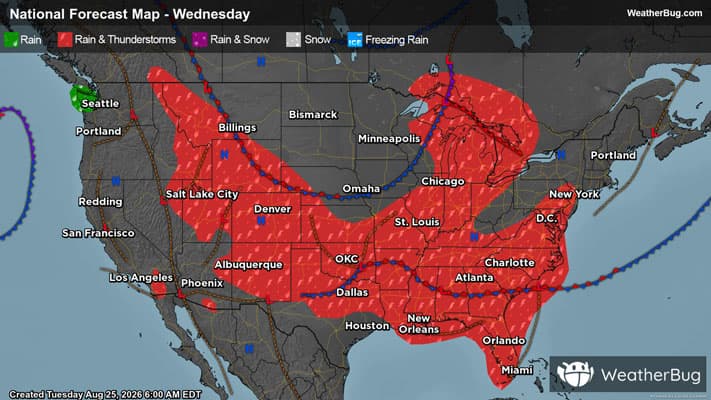
There is a Marginal Severe Storm Risk for your location. Continue reading for today's outlook from the National Weather Service's Storm Prediction Center.
--------------------
National Severe Storm Outlook
THERE IS A SLIGHT RISK OF SEVERE THUNDERSTORMS FOR PORTIONS OF CENTRAL OKLAHOMA TO THE CAROLINA SHORELINE...AND SOUTHERN ARIZONA
SUMMARY
Thunderstorms capable of producing scattered severe/damaging winds will remain possible this afternoon and evening from parts of the southern Plains eastward into the lower Mississippi Valley and Southeast. Scattered severe wind gusts are still possible over southern Arizona late this afternoon through the evening.
20Z Update
The previous forecast (see below) remains largely on track. The only appreciable change made to the 20Z Day 1 Outlook was to trim severe probabilities from the TX Panhandle. Here, subsidence and stability persist, with MLCINH of at least -100 J/kg in place amid minimal low-level convergence or upper support to encourage diurnal thunderstorm development. However, a few nocturnal storms may form due to impinging convective outflow from OK. Elsewhere across the CONUS, only minor changes were made to the general thunder and severe probabilities to reflect the latest observations and guidance consensus.