There is a Slight Severe Storm Risk for your location. Continue reading for today's outlook from the National Weather Service's Storm Prediction Center.
--------------------
National Severe Storm Outlook
THERE IS A SLIGHT RISK OF SEVERE THUNDERSTORMS ACROSS PARTS OF THE EASTERN FLORIDA PANHANDLE...GEORGIA AND SOUTH CAROLINA
SUMMARY
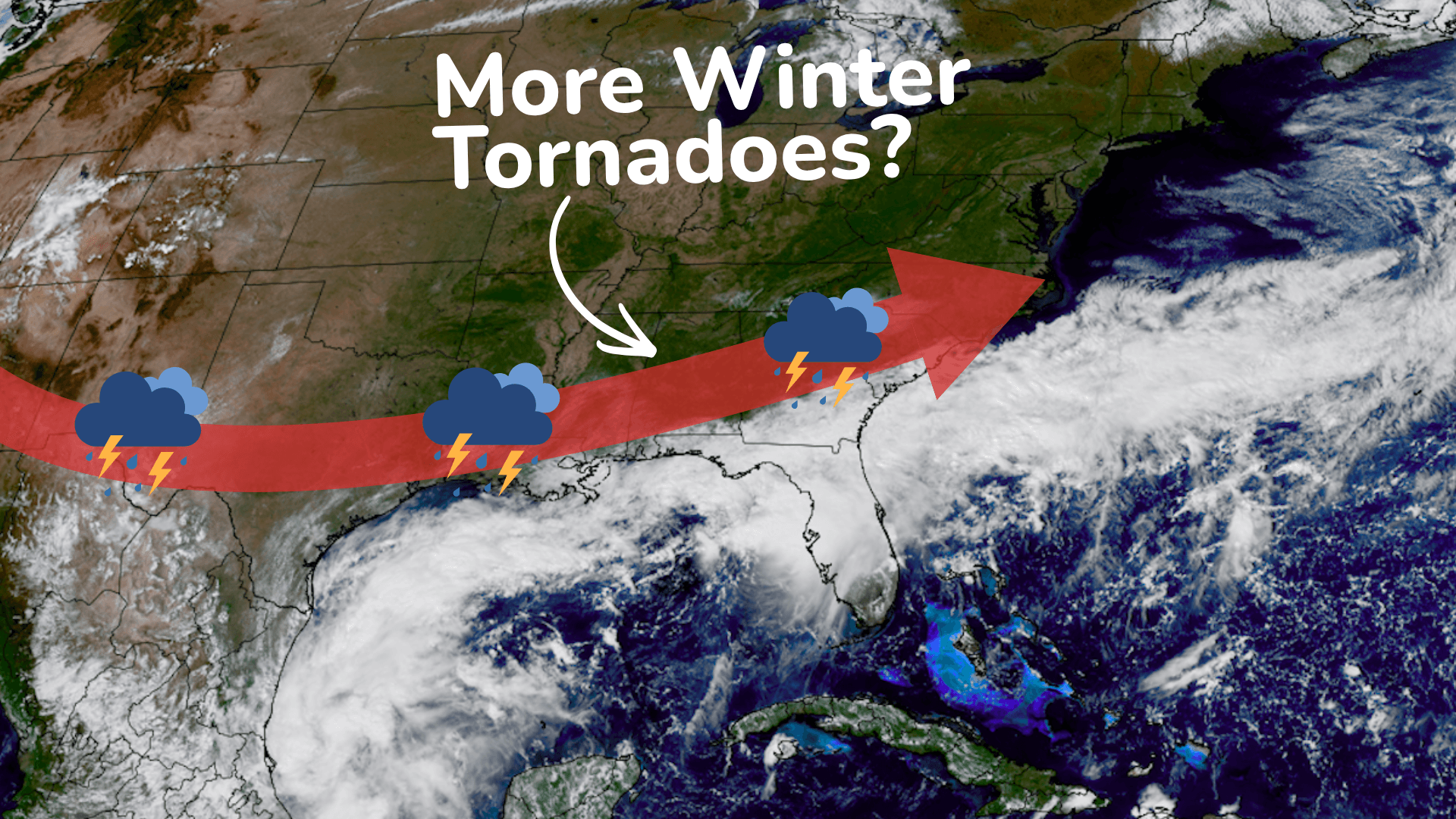
Thunderstorms associated with a tornado threat will be possible today from the eastern Florida Panhandle northeastward into the Carolinas. A few severe wind gusts may also occur in parts of the Desert Southwest.
Eastern Florida Panhandle/Georgia/Carolinas
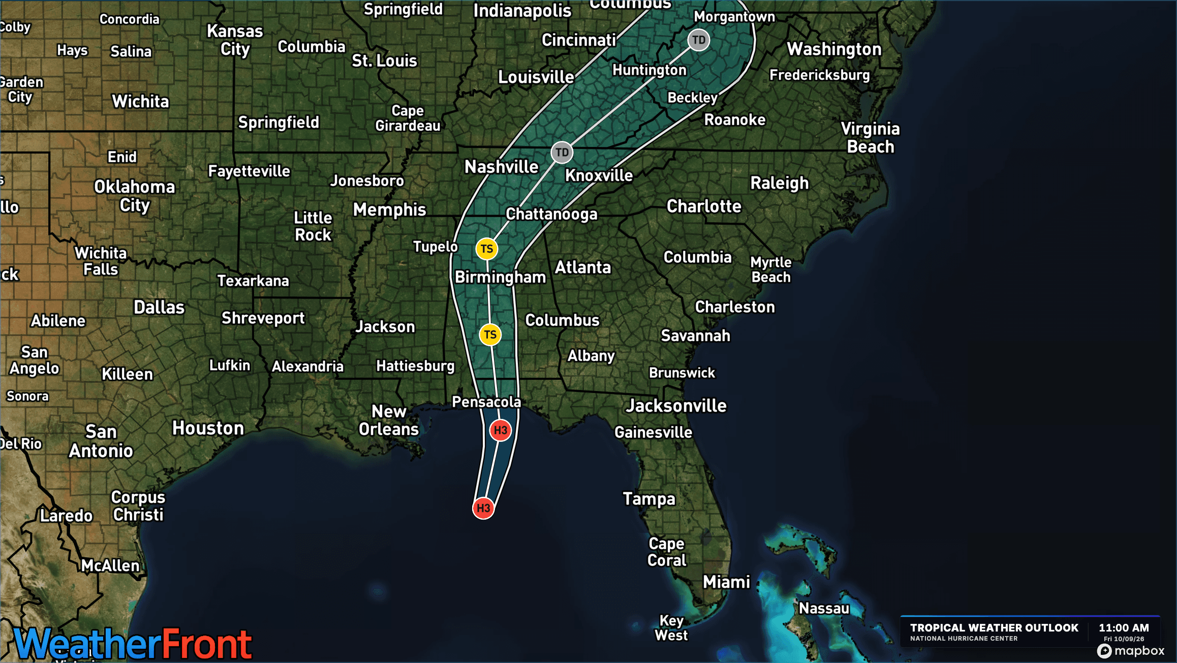
The remnants of Isaias are forecast to move northward into the Tennessee Valley today. The eastern extent of the system will move north-northeastward across Georgia and South Carolina today, where isolated to scattered thunderstorms will develop as surface temperatures warm. From eastern Georgia into South Carolina, surface dewpoints in the mid to upper 70s F will contribute to moderate instability, with MLCAPE likely peaking in the 1500 to 2000 J/kg range. RAP forecast soundings along and near the axis of instability this afternoon have veering winds with height below 850 mb and 30 to 40 knot of flow in the low to mid-levels. 0-3 km storm-relative helicity is forecast to peak near 225 m2/s2. This will support a tornado threat with supercells that remain semi-discrete. The tornado threat is expected to persist into the evening as the eastern periphery of Isaias moves into the Carolinas.
Western and Southern Arizona/Southeast California
A mid-level shortwave trough will move northeastward toward Baja California today, with the system interacting with Tropical Storm Rachel. Ahead of the system, low-level moisture advection will increase surface dewpoints into the 60s F over much of western and southern Arizona by this evening. In response, MLCAPE is forecast to increase to near 1000 J/kg over parts of southwest Arizona. This combined with large-scale ascent ahead of the system and lift associated with a low-level jet will provide support for scattered thunderstorm development. In addition, the exit region of a mid-level jet is forecast to overspread southwest Arizona during the evening. This feature will create moderate to strong deep-layer shear, which will be sufficient for supercells. If a supercell can develop, then isolated severe wind gusts would be possible.