


Severe Storms Launch in Mid-South, Desert Southwest
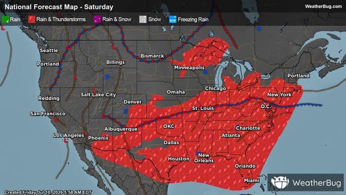
As strong, monsoon-season thunderstorms boil up in the Desert Southwest, ingredients for severe thunderstorms align in the Mid-South this afternoon and evening.
Today, upper-level disturbances will sink over the Mid-South after revolving over the Lower Midwest yesterday. With the aid of a moist Gulf airmass already settled over the region, conditions will align to enable widely scattered severe thunderstorms in the afternoon and into the evening.
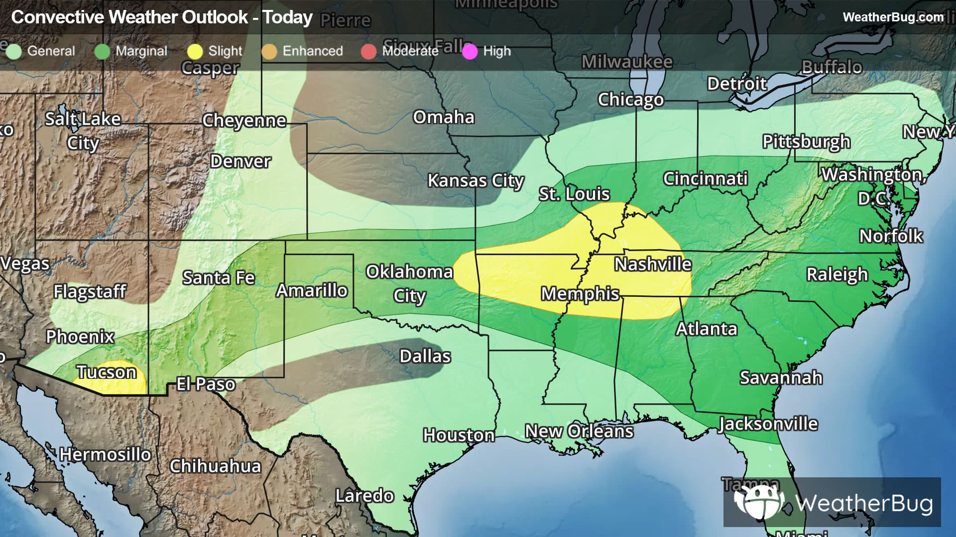
The government’s Storm Prediction Center has issued a Slight Risk, a 2 out of 5 on the severe weather probability scale, for the interior of the Mid-South. Threats of widely scattered damaging winds, hail, and even a tornado or two will be possible for cities including Nashville and Memphis, Tenn., Little Rock, Ark., and Huntsville, Ala.
In the meantime, the North American monsoon strengthens, siphoning plentiful moisture into the typically arid Desert Southwest. As the day moves forward and temperatures sear, the afternoon and evening will ignite scattered strong-to-severe thunderstorms.
As such, a Slight Risk has also been posted for a portion of southeastern Arizona, also covering the city of Tucson. Deep thunderstorms in the region are expected to bring damaging wind gusts alongside their bursts of rain.
The most plentiful showers, however, will continue to focus over and nearby the Lower Ohio and Tennessee valleys, dropping totals of 1 to locally 3 inches of rain, often in quick bursts. For both these regions and much of southern Missouri, Flood Watches have been posted. Cities that may be affected include Lexington and Louisville, Ky., Nashville, Tenn., Charleston, W. Va., and Cincinnati.
Make sure to know the difference between a watch and a warning should they be issued. A "watch" means that conditions are favorable for severe weather to occur, and to be on alert for any rapidly changing conditions. A "warning" means that severe weather is imminent, and you should act fast to remain safe.
The best way to remain safe is to stay prepared and informed about your local weather. Have a severe weather kit packed with a battery-operated radio, water, and non-perishable food items. Also, check the WeatherBug app frequently for any updates on today's severe weather. Remember, "When Thunder Roars, Go Indoors!"