


Severe Storms Spark In The Mid-Atlantic And Northeast
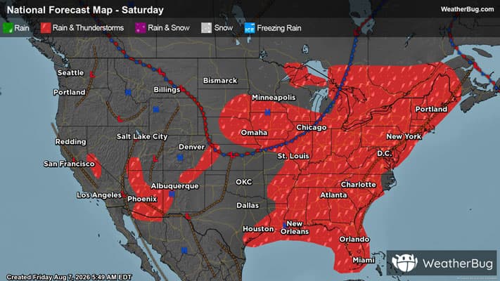
Another hot, stormy day is in store for parts of the Mid-Atlantic and Northeast.
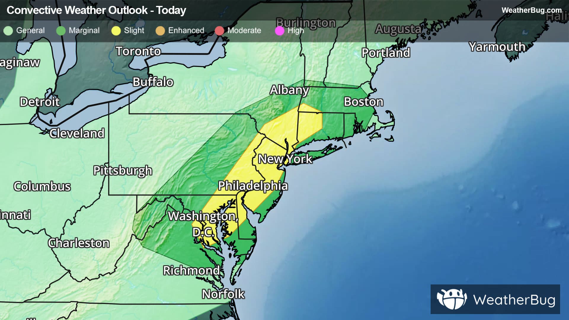
A disturbance will spark scattered storms in the afternoon and evening from the Washington D.C. suburbs up through Massachusetts. These thunderstorms have the potential to produce heavy downpours, flash flooding, gusty winds, and damaging hail. If you are travelling, delays could be in store.
The government’s Storm Prediction center has issued a Slight Risk (level 2 out of 5) highlighting northern Virginia all the way up into southwest Massachusetts. Cities in the risk zone include Washington, D.C., Baltimore, Philadelphia, and New York City.
Make sure to know the difference between a watch and a warning should they be issued. A "watch" means that conditions are favorable for severe weather to occur, and to be on alert for any rapidly changing conditions. A "warning" means that severe weather is imminent, and you should act fast to remain safe.
The best way to remain safe is to stay informed and prepared regarding your local weather. One way to do this is by checking the WeatherBug app frequently for any updates on today's severe weather. Always remember, "When Thunder Roars, Go Indoors!"