


Potent Thunderstorms Target the Northwest
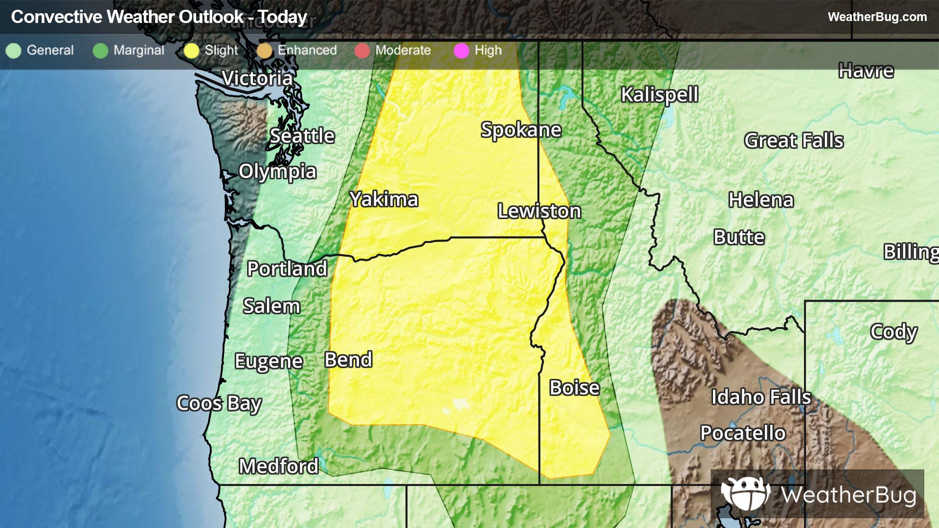
Thunderstorms will form today across the Columbia River Basin of Washington and Oregon as increasing surface moisture combines with a disturbance aloft and daytime heating, with some severe storms and localized heavy rain possible.
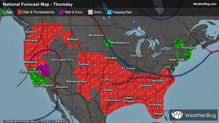
A broad disturbance found over the West Coast will cause showers and thunderstorms across portions of central California northward into Washington. Even snow will fall in the Sierra Nevada, but as instability increases as the day goes on, thunderstorm coverage will increase. The strongest storms will be capable of producing gusty winds and hail.
The Storm Prediction Center has issued Marginal and Slight Risks (levels 1 and 2 out of 5) for much of the central and eastern portions of both Washington and Oregon as well as western Idaho for this afternoon and evening. Northeastern Oregon and southeastern Washington will have the best chance for strong to severe storms.
Storms could also contain heavy downpours this afternoon and evening, with localized rain amounts of 1 to 2 inches possible. If you do approach a flooded roadway, remember that it is always best to "Turn Around, Don’t Drown!" Another concern with these thunderstorms could be "dry" lightning, where thunderstorms produce thunder and lightning but all or most of its rain evaporates before reaching the ground. This causes an elevated risk for wildfires to develop.
The best way to remain safe is to stay prepared and informed about your local weather. Have a severe weather kit packed with a battery-operated radio, water, and non-perishable food items. Also, check the WeatherBug app frequently for any updates on today's severe weather. Remember, "When Thunder Roars, Go Indoors!"