

Today's Weather Outlook
Widespread warm, wet, and wild weather is in store for much of the country today.
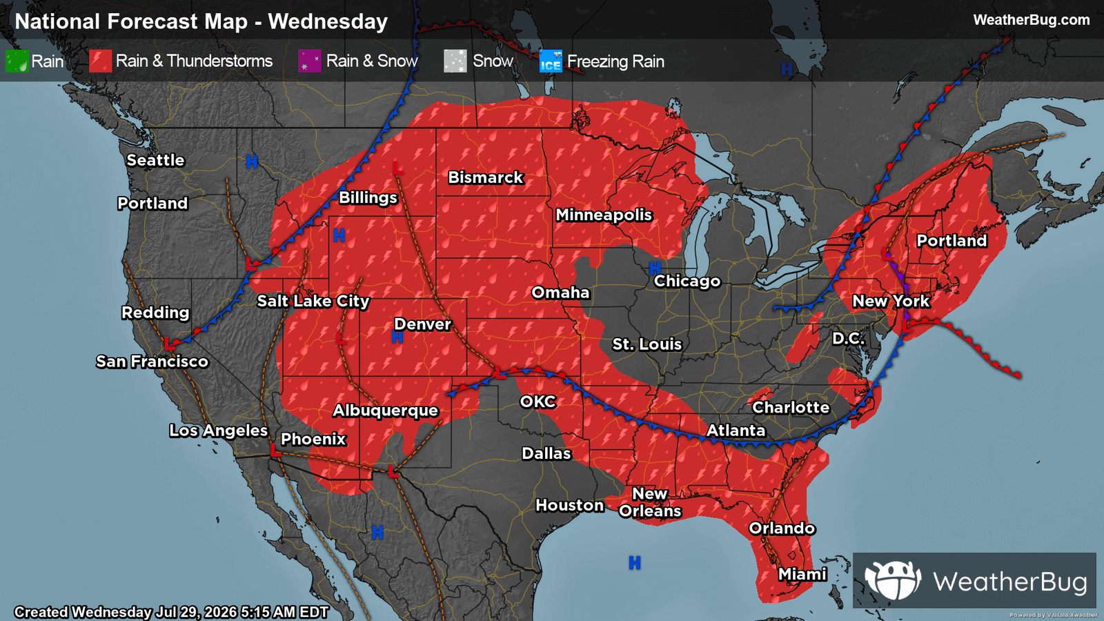
Multiple disturbances are leading to a dynamic day in terms of our weather for a large part of the country.
Activity from Tuesday will linger in the form of widespread cloud cover, showers, and even a few storms in New England, which will persist throughout the day. The Appalachian Spine will also see isolated showers, while the Southeast and Central Plains may see isolated storms.
In the afternoon hours, activity will become more widespread. Monsoonal moisture in the West will help to initiate showers and thunderstorms throughout the Desert Southwest, Great Basin, Rocky Mountains, and into the Plains. Parts of Wyoming and Colorado could see local rainfall as high as 3 inches. After several days of persistent rain and already saturated soils, anyone in these areas should be prepared for dangerous flash-flooding and rapidly changing weather conditions. This is especially the case near creeks, rivers and streams as well as urban, low-lying and other more flood prone areas. If you do approach a flooded roadway, remember that it is always best to “Turn Around, Don’t Drown!”
Meanwhile, expansive high pressure and a lack of atmospheric moisture will help to keep much of the West Coast, Texas, and the Midwest high and dry, with clear or partly cloudy skies.
Highs in the Northeast will be unseasonably cool, with temperatures ranging from the upper 60s into the lower 80s. The Midwest and Central Plains will be warmer, where high temperatures are expected to be in the 80s and 90s. Down South along with the High Plains, the sizzling temperatures will persist, with highs in the 90s and entering triple digits.
In the West, there continues to be great variations in high temperatures, ranging from the 80s to well over 100 degrees, where much of the latter will be seen in much of the Desert Southwest and interior West Coast. In the Mountain West, regions of higher elevations can expect temperatures in the 60s, and in the Pacific Northwest, regions of higher elevations can expect temperatures in the 50s. Meanwhile, the rest of the U.S. can expect highs ranging from the upper 70s to the 90s. However, there could be more fluctuations in localized areas.