Weekend Weather Preview

Wet weather makes their exit this weekend as precipitation trails on Saturday, leaving most of the country dry this weekend.
Saturday
In the Northeast, precipitation makes its exit from the wet pattern that is experienced towards the end of the work week. Lingering rain showers along the coast will drift offshore by midday, leaving the Northeast to enjoy much anticipated dry weather.
The Mid-Atlantic will see a similar trend, with residual moisture lingering, leaving rain showers along the coast until midday. Saturday evening should be blissfully dry for the Mid-Atlantic as well.
The Midwest, however, will continue to be dry throughout the day and night on Saturday. There is a chance for some pop-up showers along the Great Lakes region with moisture coming off the lakes, but nothing that is expected to last throughout the day. Dry weather conditions will dominate, allowing for a jump-start to outdoor spring activities.
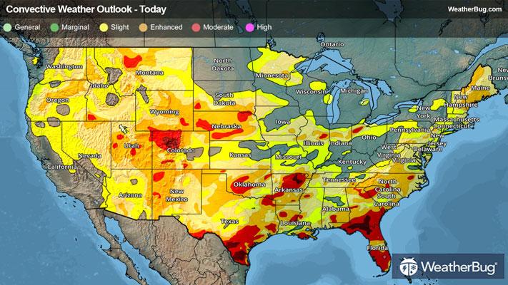
The Southeast and Deep South will also be dry this Saturday, with the only possibility of rain being within the Rio Grande valley and southern Florida. Within these areas, rain will accompany some pop-up thunderstorms encouraged by daytime heating. Heavy rain is expected with these pop-up thunderstorms, but nothing that would ruin plans for the whole day.
Saturday will also be dry for the Mountain West. The Mountain West can expect outdoor weekend plans to remain unchanged, as there are no expected rain showers to rain on anyone’s parade.
The West Coast from Washington State through southern California and the Desert Southwest will also be dry this Saturday. This is a perfect opportunity for last-minute cherry-blossom viewing in the Pacific Northwest, as conditions will be dry throughout Saturday.
Below-freezing temperatures have not been shooed off by spring, as most of the Northeast will see temperatures in the 30s this Saturday, with 20s along the U.S. Canada border across the Great Lakes.
Forties will be much more common across the nation, with the northern Mid-Atlantic, southern Great Lakes, Northern Plains, and the U.S.-Canada border from Montana through the Washington coast all seeing these temperatures.
Fifties are in store for the southern Mid-Atlantic, Tennessee Valley, Central Plains, New Mexico Texas border, and most of Oregon this Saturday. Sixties will also scatter across some parts of these regions as well, but will primarily be present in the Southeast, Denver metro area, Great Basin Desert, and California's Central Valley.
Seventy-degree temperatures will linger on the northern Gulf Coast and southern California, while 80s will be present in southern Florida, the Rio Grande Valley, and the Desert Southwest.
Sunday
In the Northeast, most areas will be dry throughout the day on Sunday. Unfortunately, for the U.S.-Canada border, some residual moisture will allow for a rain/snow mix, but this will mostly just keep to this area. Most parts of the Northeast will not see this mix, leaving the weekend to end on a dry note for more populous areas.
The Mid-Atlantic, however, will continue to be dry with not a raindrop in sight! Mid-Atlantic weekend plans should be uninterrupted, leaving many to flock outdoors as spring begins to settle in.
The Southeast and Deep South will be mostly dry this Sunday, with some continued showers and isolated thunderstorms keeping to southern Florida and shifting from the Rio Grande Valley into southern Louisiana. Heavy bouts of rain are possible with these thunderstorms, but these will mostly occur in the late afternoon and evening hours.
For the Mountain West, conditions will continue to be dry until moisture moves in during evening hours on Sunday, causing some light rain showers. This rain will mostly keep to the Denver metro area, but there will be a few areas seeing rain in the Northern Rockies as well.
This moisture doesn’t end in the Mountain West though as the Pacific Northwest will see moisture move in from the Pacific into the area on Sunday. Rain showers can be expected in lowland areas from the southern Oregon coast up through Washington state, clinging to the Cascades as a rain and snow mix. Weekend walking or hiking plans are not ideal for Sunday, as outdoor conditions will be rather wet throughout the day.
Although California will be dry throughout the day on Sunday, moisture moving up from Mexico will cause some rain showers to move into parts of the Desert Southwest on Sunday evening. Arizona and New Mexico will mostly see these light rain showers, and they will likely ocurr while everyone is in for the night and settling down for the beginning of the work week.
Temperatures will increase slightly across the nation on Sunday, with 30s persisting in the Northern Northeast and the U.S.-Canda border along the Great Lakes, with 40s inching northward into the New England coastline and southern New York.
Fifties will be present among the Northern Mid-Atlantic, southern Great Lakes, and the Pacific Northwest. Temperatures in the 60s will be common on Sunday in the Tennessee Valley, Great Basin Desert, and California’s Central Valley.
Areas seeing 70s on Sunday will be the Southeast, the Plains, most of Texas, and southern California. Temperatures in the 80s will occur in the Rio Grande Valley, border between Colorado and Kansas, and the Desert Southwest this Sunday.