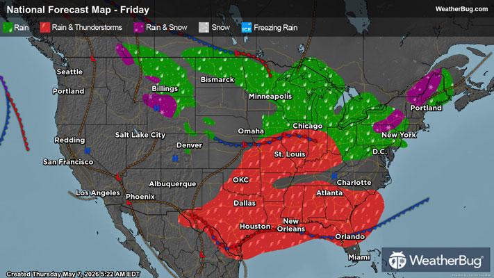
Weekend Weather Preview
Outdoor weekend plans may be in jeopardy if you are in the Central or Eastern U.S. due to the potential for soggy, stormy weather. Meanwhile, drier but quite warm conditions will make people want to head to the beach in the West.
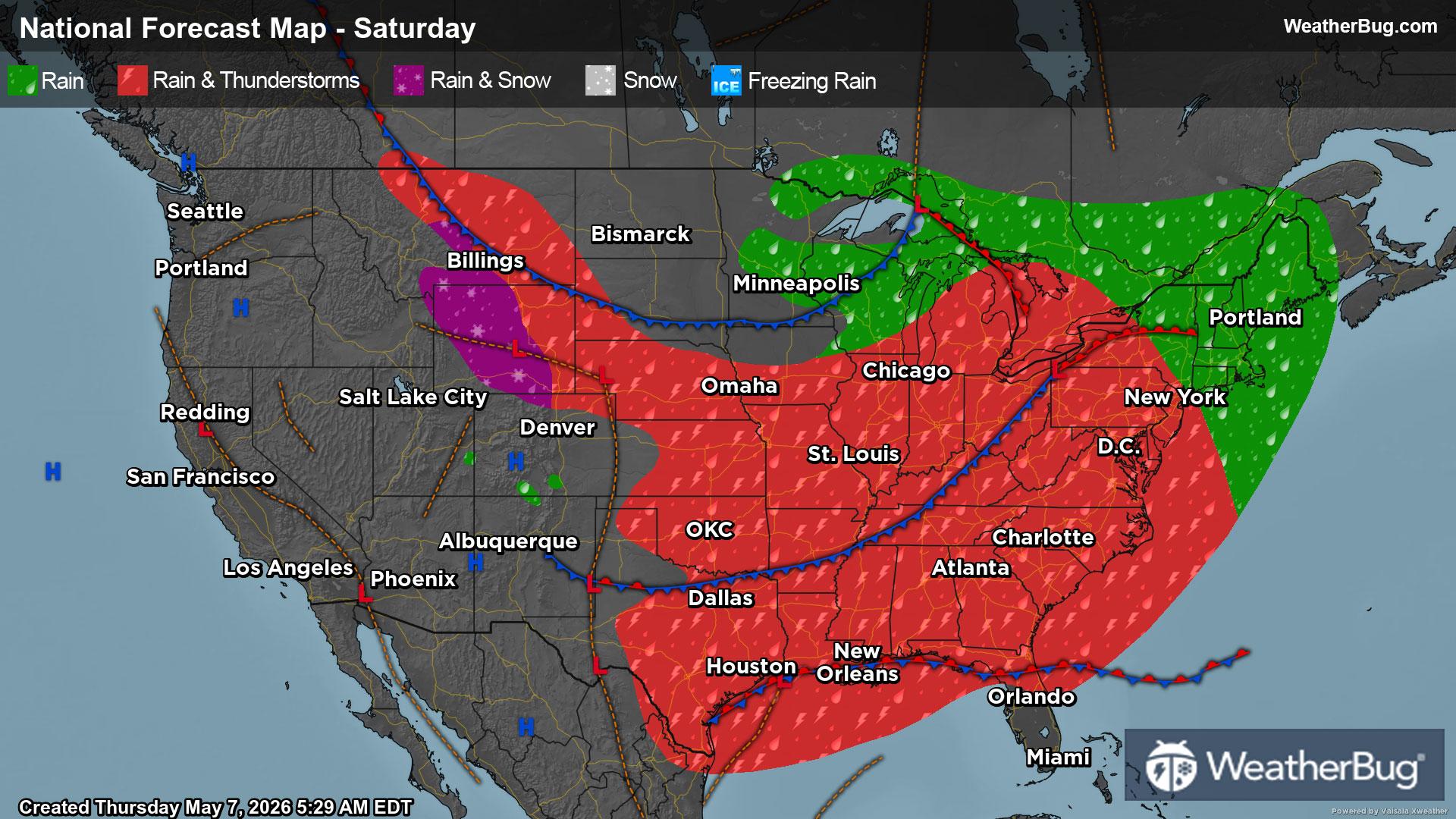
Saturday
An upper-level weather system will remain settled over the eastern two-thirds of the U.S. on Saturday. This will allow multiple weaker and faster-moving disturbances to dart across the region. Given this, precipitation will be found in most areas along and east of the Rockies. The highest chance, however, will occur along the Front Range and High Plains, the Gulf Coast, Great Lakes, and Eastern Seaboard. The rest of the Midwest, southern Plains and Tennessee Valley will see smaller chances.
Temperatures will be too mild for most spots, which will allow precipitation to fall as rain. However, the tallest peaks of the Rocky Mountains could be cold enough for wet snow or a rain/snow mix. Thunderstorms will also rumble across the Plains and Southeast. If you have any outdoor plans, remember “When Thunder Roars, Go Indoors!”
At the same time, high pressure will be centered over California and the Southwest to start the weekend. This will translate into dry, quiet weather throughout the West.
The coolest temperatures on Saturday will occur in the Rockies, Upper Midwest, and New England, with highs generally reaching the 40s, 50s and lower 60s. Upper 60s and 70s will be recorded in the Northwest and Great Basin into the Lower Midwest, Deep South and Mid-Atlantic. Expect 80s and 90s for much of California into the Desert Southwest as well as the southern Plains, Lower Mississippi Valley, and parts of the Florida Panhandle.
Sunday
Mother Nature has no major plans for changing up the weather pattern on Sunday. A series of fast-moving weather disturbances will zip across the Central and Eastern U.S. Precipitation will remain in the forecast for most spots east of the Rockies. However, the highest chances will be found in the south-central U.S., Southeast, Ohio Valley and Northeast. Only slight chances are possible for the northern Plains, Upper Mississippi Valley, and Mid-Atlantic.
With temperatures remaining mild, rain will continue to be the main weather precipitation type. There could be some wet snow or a rain/snow mix in the Upper Great Lakes along the U.S.-Canada border. Thunderstorms will also be likely for the south-central U.S. and Southeast.
On the opposite side of the nation, high pressure will continue to control the weather throughout the West, fostering dry weather.
Temperatures will once again peak in the 50s for much of the Rockies as well as the Upper Midwest and interior New England. Sixties, 70s and lower 80s are in store for the Pacific Northwest, the rest of the Rockies, Lower Midwest, and southern New England. Expect 80s and 90s for the interior Northwest, Great Basin, California and the Desert Southwest into the southern Plains, Deep South and Southeast.