10-Day Weather Forecast - Copeland, ID
- |34°FPartly CloudyHourly details
Tonight
34°FPartly cloudy. Low temperature around 34F. Dew point will be around 24F with an average humidity of 78%. Winds will be 4 mph from the SE.
- 39|37°FFrozen MixHourly details
Day
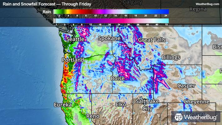
39°FSnow likely in the morning then rain or snow in the afternoon. Snow may be heavy at times in the afternoon. Snow accumulation of 2 to 4 inches valleys and 4 to 9 inches in the mountains. Highs in the mid 30s to mid 40s. Chance of precipitation near 100 percent.
Night
37°FRain or snow in the evening then a chance of rain or snow overnight. Snow accumulation of 2 to 5 inches. Snow level 3500 feet. Lows in the mid 20s to lower 30s. Breezy. Southwest wind 5 to 15 mph with gusts up to 40 mph except southwest 20 to 30 mph in the mountains. In the mountains gusts up to 45 mph increasing to 55 mph overnight. Chance of precipitation near 100 percent.
- 38|32°FPartly SunnyHourly details
Day
38°FPartly sunny with a 20 percent chance of snow. Highs in the 30s. Gusts up to 30 mph decreasing to 20 mph in the afternoon.
Night
32°FMostly cloudy with a 50 percent chance of snow. Lows in the mid to upper 20s.
Weekend Weather
- 38|35°FLight SnowHourly details
Day
38°FSnow. Light snow accumulations. Highs in the 30s. Chance of precipitation near 100 percent.
Night
35°FMostly cloudy with a 50 percent chance of snow. Lows in the upper 20s.
- 39|37°F70% Chance Frozen MixHourly details
Day
39°FRain or snow likely. Moderate snow accumulations possible. Highs in the mid to upper 30s. Lows in the upper 20s to lower 30s. Chance of precipitation 70 percent.
Night
37°FRain or snow likely. Moderate snow accumulations possible. Highs in the mid to upper 30s. Lows in the upper 20s to lower 30s. Chance of precipitation 70 percent.
- 39|36°F70% Chance Frozen MixHourly details
Day
39°FRain or snow likely. Moderate snow accumulations possible. Highs in the mid to upper 30s. Chance of precipitation 70 percent.
Night
36°FMostly cloudy with a chance of rain or snow. Lows in the upper 20s to lower 30s. Chance of precipitation 50 percent.
- 39|33°F50% Chance of SnowHourly details
Day
39°FMostly cloudy with a 50 percent chance of snow. Highs in the mid to upper 30s.
Night
33°FMostly cloudy with a 40 percent chance of snow. Lows in the mid 20s to lower 30s.
- 37|27°F50% Chance of Snow
Day
37°FMostly cloudy with a 50 percent chance of snow. Highs in the mid to upper 30s.
Night
27°FPartly cloudy with a chance of snow. Chance of precipitation 50%. Low temperature around 27F. Dew point will be around 28F with an average humidity of 81%. Winds will be 3 mph from the S.
- 33|27°F60% Chance of Snow
Day
33°FCloudy with a chance of snow. Chance of precipitation 55%. High temperature around 33F. Dew point will be around 24F with an average humidity of 77%. Winds will be 2 mph from the NE.
Night
27°FCloudy with a chance of snow. Chance of precipitation 60%. Low temperature around 27F. Dew point will be around 23F with an average humidity of 79%. Winds will be 2 mph from the NE.
- 31|29°F70% Chance of Snow
Day
31°FCloudy with probable snow. Chance of precipitation 65%. High temperature around 31F. Dew point will be around 24F with an average humidity of 77%. Winds will be 1 mph from the SE.
Night
29°FCloudy with probable snow. Chance of precipitation 65%. Low temperature around 29F. Dew point will be around 24F with an average humidity of 79%. Winds will be 1 mph from the E.
Weekend Weather
- 34|33°F70% Chance of Snow
Day
34°FCloudy with probable snow. Chance of precipitation 65%. High temperature around 34F. Dew point will be around 27F with an average humidity of 77%. Winds will be 2 mph from the SE.
Night
33°FCloudy with probable snow. Chance of precipitation 75%. Low temperature around 33F. Dew point will be around 28F with an average humidity of 79%. Winds will be 3 mph from the S.