10-Day Weather Forecast - Country Hills of Farmington, UT
- 51|42°FRainHourly details
Today
51°FMostly cloudy with likely rain. Chance of precipitation 85%. High temperature around 51F. Dew point will be around 33F with an average humidity of 77%. Winds will be 6 mph from the W.
Tonight
42°FPartly cloudy. A slight chance of snow showers in the evening then a chance of snow showers after midnight. Lows in the upper 20s. Chance of snow 30 percent.
- 56|39°FPartly CloudyHourly details
Day
56°FBreezy. A slight chance of snow showers in the morning then a slight chance of snow showers showers and thunderstorms in the afternoon. Partly cloudy. Highs in the mid 40s. West winds 15 to 25 mph. Chance of precipitation 20 percent.
Night
39°FMostly clear. Lows in the mid 20s.
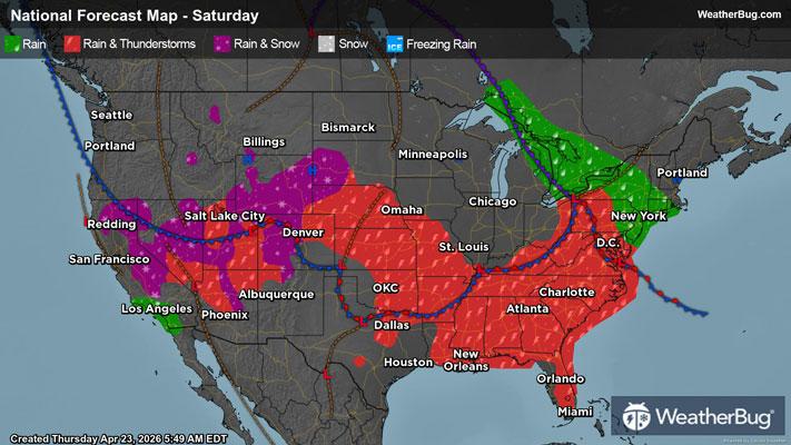
Weekend Weather
- 60|47°FPartly CloudyHourly details
Day
60°FSunny in the morning then partly cloudy with a 20 percent chance of rain showers thunderstorms and snow showers in the afternoon. Highs around 50.
Night
47°FA chance of rain showers a slight chance of thunderstorms and snow showers in the evening then snow showers and rain showers likely after midnight. Mostly cloudy. Lows in the mid 30s. Chance of precipitation 70 percent.
- 50|42°FFrozen MixHourly details
Day
50°FSnow showers and rain showers in the morning then snow showers rain showers and a slight chance of thunderstorms in the afternoon. Highs in the lower 40s. Chance of precipitation 90 percent.
Night
42°FRain showers likely and a chance of snow showers. Lows around 30. Chance of precipitation 70 percent.
- 53|44°F70% Chance Frozen MixHourly details
Day
53°FSnow showers and rain showers likely. Highs in the mid 40s. Chance of precipitation 70 percent.
Night
44°FMostly cloudy. A chance of rain and snow showers. Lows around 30. Chance of precipitation 40 percent.
- 57|47°F50% Chance Frozen MixHourly details
Day
57°FPartly sunny. A chance of rain and snow showers. Highs in the lower 50s. Chance of precipitation 50 percent.
Night
47°FPartly cloudy. Lows in the lower 30s.
- 60|48°F40% Chance Frozen Mix
Day
60°FPartly cloudy in the morning then partly sunny with a chance of rain and snow showers in the afternoon. Highs in the mid 50s. Chance of precipitation 40 percent.
Night
48°FMostly cloudy with a chance of rain and snow showers in the evening then partly cloudy after midnight. Lows in the mid 30s. Chance of precipitation 30 percent.
- 60|48°F40% Chance Frozen Mix
Day
60°FPartly cloudy with a chance of snow showers in the morning then partly sunny with a chance of rain and snow showers in the afternoon. Highs in the mid 50s. Chance of precipitation 40 percent. =
Night
48°FPartly cloudy with a slight chance of rain. Chance of precipitation 30%. Low temperature around 48F. Dew point will be around 31F with an average humidity of 41%. Winds will be 4 mph from the E.
- 64|50°FMostly Sunny
Day
64°FMostly sunny. High temperature around 64F. Dew point will be around 33F with an average humidity of 41%. Winds will be 2 mph from the E.
Night
50°FMostly clear. Low temperature around 50F. Dew point will be around 32F with an average humidity of 39%. Winds will be 3 mph from the E.
Weekend Weather
- 66|52°FPartly Cloudy
Day
66°FPartly cloudy. High temperature around 66F. Dew point will be around 33F with an average humidity of 37%. Winds will be 3 mph from the SW.
Night
52°FPartly cloudy. Low temperature around 52F. Dew point will be around 29F with an average humidity of 32%. Winds will be 4 mph from the E.