10-Day Weather Forecast - Creston, MT
- 78|57°F
 40% Chance of RainHourly details
Today
78°FMostly sunny with a chance of rain. Chance of precipitation 35%. High temperature around 78F. Dew point will be around 54F with an average humidity of 69%. Winds will be 1 mph from the S.
Tonight
57°F
Mostly cloudy. Chance of rain showers and a slight chance of thunderstorms early in the evening then slight chance of rain late in the evening. Chance of precipitation 50 percent. Lows in the mid 40s to lower 50s.
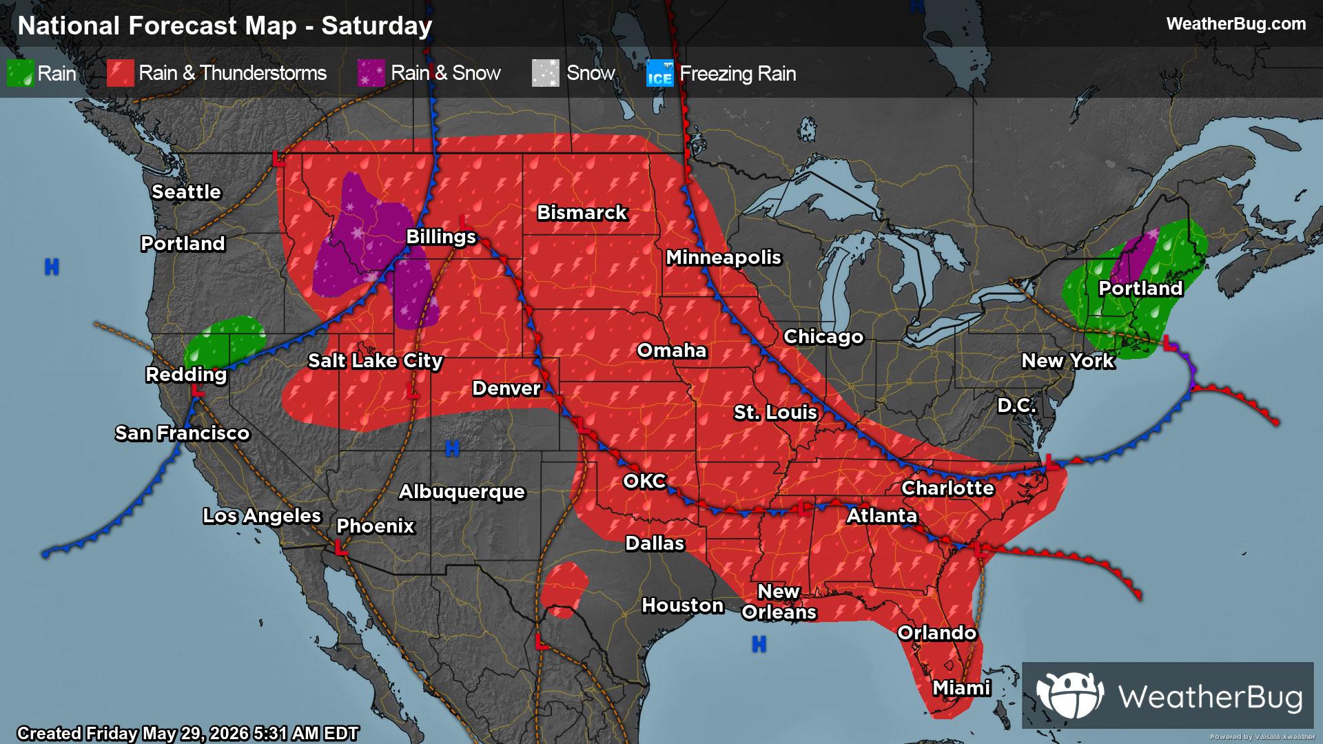
Weekend Weather
- 64|52°F
 50% Chance of StormsHourly details
Day
64°FCloudy. Slight chance of rain in the morning then chance of rain showers and a slight chance of thunderstorms in the afternoon. Chance of precipitation 50 percent. Highs in the mid 60s to lower 70s.
Night
52°F
Rain likely. Chance of rain 80 percent. Lows in the 40s.
- 54|48°FRainHourly details
Day
54°FRain likely. Chance of rain 90 percent. Highs in the 50s to lower 60s.
Night
48°FRain likely. Chance of rain 90 percent. Lows in the upper 30s to mid 40s.
- 57|50°F80% Chance of RainHourly details
Day
57°FRain likely. Chance of rain 80 percent. Highs in the mid 50s to lower 60s.
Night
50°FRain likely in the evening then a chance of rain after midnight. Chance of rain 60 percent. Lows in the upper 30s to mid 40s.
- 63|48°F40% Chance of RainHourly details
Day
63°FMostly cloudy with a 40 percent chance of rain. Highs in the 60s.
Night
48°F
Mostly cloudy in the evening then becoming partly cloudy. Lows in the 40s.
- 73|52°F
 Partly CloudyHourly details
Day
73°FPartly cloudy. A 20 percent chance of rain in the afternoon. Highs in the upper 60s to mid 70s.
Night
52°FMostly cloudy. Chance of rain showers and a slight chance of thunderstorms in the evening then a chance of rain after midnight. Chance of precipitation 40 percent. Lows in the 40s to lower 50s.
- 74|52°F40% Chance of Storms
Day
74°FMostly cloudy. A chance of rain in the morning then chance of rain showers and a slight chance of thunderstorms in the afternoon. Chance of precipitation 40 percent. Highs in the upper 60s to mid 70s.
Night
52°F
Mostly clear. A 20 percent chance of rain in the evening. Lows in the 40s.
- 79|55°F
 Mostly Sunny
Day
79°FMostly sunny. Highs in the 70s.
Night
55°FPartly cloudy. Low temperature around 55F. Dew point will be around 51F with an average humidity of 66%. Winds will be 2 mph from the SW.
Weekend Weather
- 76|51°F
 Sunny
SunnyDay
76°FSunny. High temperature around 76F. Dew point will be around 48F with an average humidity of 49%. Winds will be 4 mph from the SW.
Night
51°FMostly clear with a chance of rain. Chance of precipitation 35%. Low temperature around 51F. Dew point will be around 48F with an average humidity of 69%. Winds will be 3 mph from the SW.
- 72|49°F30% Chance of Rain
Day
72°FSunny with a slight chance of rain. Chance of precipitation 25%. High temperature around 72F. Dew point will be around 43F with an average humidity of 47%. Winds will be 4 mph from the SW.
Night
49°FClear with a slight chance of rain. Chance of precipitation 25%. Low temperature around 49F. Dew point will be around 45F with an average humidity of 66%. Winds will be 2 mph from the SW.