10-Day Weather Forecast - Duluth Heights, MN
- 31|27°FPartly SunnyHourly details
Today
31°FPartly sunny. Near steady temperature in the lower 30s. East winds 10 to 15 mph with gusts up to 25 mph.
Tonight
27°FMostly cloudy. A chance of snow sleet and freezing rain in the evening then snow sleet with a slight chance of freezing rain after midnight. Patchy blowing snow. Snow and sleet accumulation of 1 to 3 inches. Ice accumulation of up to a tenth of an inch. Near steady temperature in the upper 20s. East winds 15 to 20 mph with gusts up to 35 mph. Chance of precipitation 90 percent.
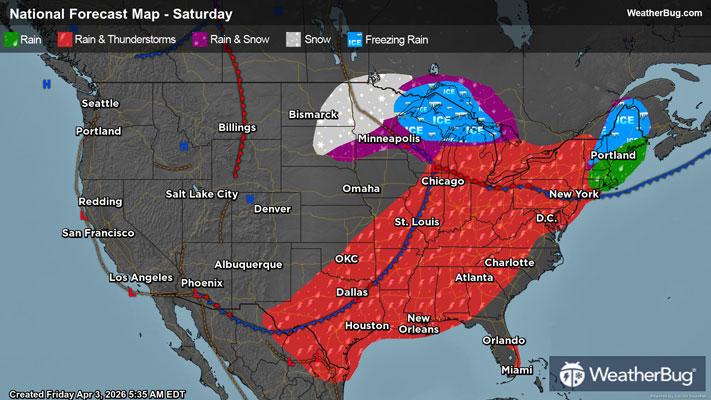
Weekend Weather
- 31|24°FFreezing RainHourly details
Day
31°FSnow with a slight chance of freezing rain in the morning then snow in the afternoon. Additional snow accumulation of 2 to 4 inches. Ice accumulation around a trace. Highs in the mid 30s. Northeast winds 15 to 20 mph with gusts up to 35 mph becoming north around 10 mph with gusts up to 20 mph in the afternoon. Chance of precipitation near 100 percent.
Night
24°FMostly cloudy with a chance of snow in the evening then partly cloudy with a slight chance of snow after midnight. Little or no additional snow accumulation. Lows in the lower 20s. Northwest winds 5 to 10 mph with gusts up to 25 mph. Chance of snow 40 percent.
- 42|27°FPartly SunnyHourly details
Day
42°FPartly sunny. A slight chance of rain and snow in the afternoon. Highs in the lower 40s. West winds 5 to 10 mph with gusts up to 20 mph. Chance of precipitation 20 percent.
Night
27°FMostly cloudy. Lows in the lower 20s. Highs in the lower 30s.
- 29|13°FMostly CloudyHourly details
Day
29°FMostly cloudy. Lows in the lower 20s. Highs in the lower 30s.
Night
13°FMostly clear. Much colder with lows 5 to 10 above.
- 37|29°FMostly SunnyHourly details
Day
37°FMostly sunny. Highs in the upper 30s.
Night
29°FMostly cloudy. A slight chance of snow in the evening then a chance of rain and snow after midnight. Not as cool with lows in the upper 20s. Chance of precipitation 40 percent.
- 49|32°F50% Chance of SnowHourly details
Day
49°FMostly cloudy in the morning then becoming partly sunny. A chance of snow in the morning. A chance of rain. Not as cool with highs in the lower 50s. Chance of precipitation 50 percent.
Night
32°FMostly cloudy. A chance of rain in the evening then a slight chance of rain and snow after midnight. Lows around 30. Chance of precipitation 50 percent.
- 45|26°FMostly Cloudy
Day
45°FMostly cloudy with a 20 percent chance of snow. Highs in the mid 40s.
Night
26°FCloudy with a slight chance of rain-snow mix. Chance of precipitation 30%. Low temperature around 26F. Dew point will be around 21F with an average humidity of 69%. Winds will be 7 mph from the NE.
- 38|30°F50% Chance Frozen Mix
Day
38°FCloudy with a chance of rain-snow mix. Chance of precipitation 45%. High temperature around 38F. Dew point will be around 23F with an average humidity of 66%. Winds will be 9 mph from the E.
Night
30°FCloudy with a chance of snow. Chance of precipitation 45%. Low temperature around 30F. Dew point will be around 26F with an average humidity of 76%. Winds will be 7 mph from the NE.
Weekend Weather
- 41|29°F50% Chance Frozen Mix
Day
41°FCloudy with a chance of rain-snow mix. Chance of precipitation 45%. High temperature around 41F. Dew point will be around 27F with an average humidity of 69%. Winds will be 6 mph from the NE.
Night
29°FCloudy with a chance of rain-snow mix. Chance of precipitation 35%. Low temperature around 29F. Dew point will be around 26F with an average humidity of 76%. Winds will be 5 mph from the NE.
- 43|31°FCloudy
Day
43°FCloudy. High temperature around 43F. Dew point will be around 27F with an average humidity of 66%. Winds will be 3 mph from the E.
Night
31°FCloudy. Low temperature around 31F. Dew point will be around 27F with an average humidity of 76%. Winds will be 4 mph from the NE.