10-Day Weather Forecast - Euclid, OH
- |69°F
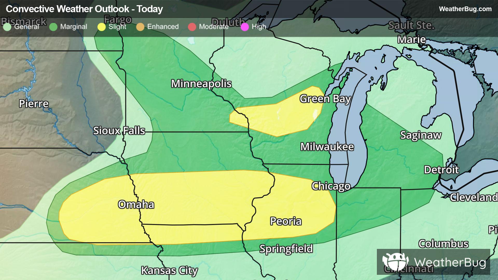
 40% Chance of StormsHourly details
Tonight
69°FPartly cloudy this evening then mostly cloudy with a chance of showers and thunderstorms after midnight. Lows in the upper 60s. Southwest winds 10 to 15 mph with gusts up to 25 mph. Chance of rain 40 percent.
Weekend Weather
- 77|64°F
 70% Chance of StormsHourly details
Day
77°FMostly cloudy. A chance of showers with a slight chance of thunderstorms in the morning then showers likely with a chance of thunderstorms in the afternoon. Highs in the mid 80s. West winds 10 to 15 mph with gusts up to 25 mph. Chance of rain 70 percent.
Night
64°FMostly cloudy. A chance of showers and thunderstorms in the evening then a slight chance of showers after midnight. Humid with lows in the mid 60s. West winds 5 to 10 mph. Chance of rain 50 percent.
- 77|60°F
 Partly SunnyHourly details
Day
77°FPartly sunny in the morning then clearing. Highs around 80. North winds 5 to 10 mph.
Night
60°F
Mostly clear. Lows in the upper 50s. East winds around 5 mph.
- 85|66°FPartly CloudyHourly details
Day
85°FMostly sunny in the morning then becoming partly cloudy. Highs in the mid 80s.
Night
66°F
Mostly cloudy. Lows in the upper 60s.
- 82|70°F60% Chance of StormsHourly details
Day
82°FPartly sunny with a chance of showers in the morning then mostly cloudy with showers likely with a chance of thunderstorms in the afternoon. Highs in the upper 80s. Chance of rain 60 percent.
Night
70°FMostly cloudy with a chance of thunderstorms. Showers likely mainly in the evening. Lows around 70. Chance of rain 60 percent.
- 82|70°F50% Chance of StormsHourly details
Day
82°FMostly cloudy in the morning then becoming partly sunny. A chance of showers. A chance of thunderstorms in the afternoon. Highs in the upper 80s. Chance of rain 50 percent.
Night
70°FMostly cloudy with a chance of showers and thunderstorms. Lows in the lower 70s. Chance of rain 50 percent.
- 87|72°F40% Chance of StormsHourly details
Day
87°FPartly sunny with a chance of showers. A chance of thunderstorms in the afternoon. Hot with highs in the lower 90s. Chance of rain 40 percent. Heat index values in the upper 90s.
Night
72°FA chance of thunderstorms in the evening. Partly cloudy with a chance of showers. Lows in the lower 70s. Chance of rain 40 percent.
- 89|73°F40% Chance of Storms
Day
89°FPartly sunny with a chance of showers. A chance of thunderstorms in the afternoon. Hot with highs in the lower 90s. Chance of rain 40 percent. Heat index values in the upper 90s in the afternoon.
Night
73°F
Clear with a 35% chance for rain and thunderstorms. Low temperature around 73F. Dew point will be around 66F with an average humidity of 67%. Winds will be 4 mph from the S.
Weekend Weather
- 88|72°F
 50% Chance of Rain
Day
88°FMostly sunny with a chance of rain. Chance of precipitation 45%. High temperature around 88F. Dew point will be around 68F with an average humidity of 60%. Winds will be 6 mph from the W.
Night
72°FMostly clear with a chance of rain. Chance of precipitation 40%. Low temperature around 72F. Dew point will be around 65F with an average humidity of 65%. Winds will be 4 mph from the SW.
- 82|67°F40% Chance of Rain
Day
82°FMostly sunny with a chance of rain. Chance of precipitation 40%. High temperature around 82F. Dew point will be around 64F with an average humidity of 60%. Winds will be 5 mph from the W.
Night
67°FClear with a chance of rain. Chance of precipitation 40%. Low temperature around 67F. Dew point will be around 60F with an average humidity of 66%. Winds will be 3 mph from the W.