10-Day Weather Forecast - Koontz Lake, IN
- 66|61°FThunderstormsHourly details
Today
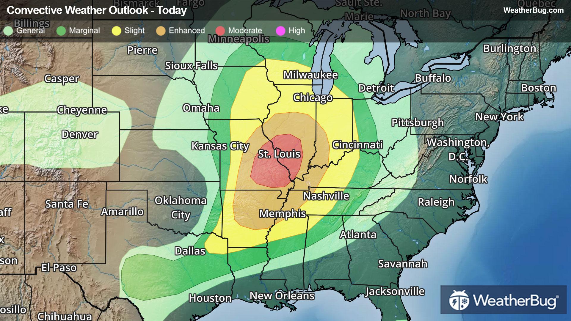
66°FShowers with a chance of thunderstorms. Highs in the lower 70s. South winds 15 to 20 mph with gusts up to 35 mph. Chance of rain 90 percent.
Tonight
61°FShowers with a chance of thunderstorms in the evening then a chance of showers and thunderstorms after midnight. Some thunderstorms may be severe after midnight. Locally heavy rainfall possible in the evening. Lows in the mid 50s. South winds 15 to 20 mph with gusts up to 40 mph. Chance of rain near 100 percent.
- 62|50°FPartly CloudyHourly details
Day
62°FMostly cloudy in the morning then becoming partly cloudy. Highs in the mid 60s. West winds 10 to 15 mph with gusts up to 25 mph.
Night
50°FPartly cloudy in the evening then mostly cloudy with a chance of showers after midnight. Lows in the upper 40s. North winds 5 to 10 mph. Chance of rain 50 percent.
- 55|40°F50% Chance Rain ShowersHourly details
Day
55°FPartly cloudy. A chance of showers mainly in the morning. Highs in the upper 50s. North winds 10 to 15 mph. Gusts up to 25 mph in the afternoon. Chance of rain 50 percent.
Night
40°FMostly clear. Lows in the upper 30s.
- 55|41°FMostly SunnyHourly details
Day
55°FMostly sunny. Highs in the upper 50s.
Night
41°FPartly cloudy. Lows in the upper 30s.
- 52|37°FPartly CloudyHourly details
Day
52°FPartly cloudy. Highs in the mid 50s.
Night
37°FMostly clear. Lows in the mid 30s.
Weekend Weather
- 53|40°FMostly SunnyHourly details
Day
53°FMostly sunny. Highs in the upper 50s.
Night
40°FMostly clear. Lows in the upper 30s.
- 65|46°FMostly Sunny
Day
65°FMostly sunny. Highs in the mid 60s.
Night
46°FMostly cloudy. Low temperature around 46F. Dew point will be around 43F with an average humidity of 67%. Winds will be 7 mph from the SW.
- 61|47°F30% Chance of Rain
Day
61°FPartly cloudy with a slight chance of rain. Chance of precipitation 25%. High temperature around 61F. Dew point will be around 44F with an average humidity of 69%. Winds will be 7 mph from the W.
Night
47°FMostly clear with a slight chance of rain. Chance of precipitation 25%. Low temperature around 47F. Dew point will be around 44F with an average humidity of 73%. Winds will be 4 mph from the SW.
- 61|48°F40% Chance of Rain
Day
61°FPartly cloudy with a chance of rain. Chance of precipitation 40%. High temperature around 61F. Dew point will be around 45F with an average humidity of 70%. Winds will be 6 mph from the SW.
Night
48°FCloudy with a chance of rain. Chance of precipitation 50%. Low temperature around 48F. Dew point will be around 45F with an average humidity of 74%. Winds will be 3 mph from the W.
- 57|46°F40% Chance of Rain
Day
57°FPartly cloudy with a chance of rain. Chance of precipitation 40%. High temperature around 57F. Dew point will be around 43F with an average humidity of 71%. Winds will be 5 mph from the W.
Night
46°FPartly cloudy with a slight chance of rain. Chance of precipitation 30%. Low temperature around 46F. Dew point will be around 41F with an average humidity of 72%. Winds will be 4 mph from the NW.