10-Day Weather Forecast - Mount Vernon, OR
- 74|48°F
 50% Chance of StormsHourly details
Today
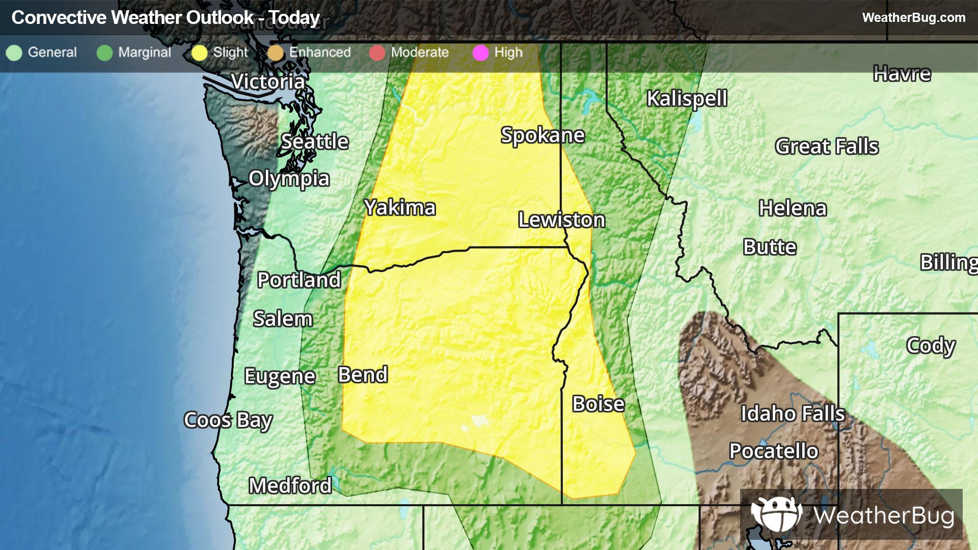
74°FMostly cloudy with a 50 percent chance of showers and thunderstorms. Highs in the upper 70s to lower 80s. North wind 5 to 10 mph. Rainfall amounts less than a tenth of an inch except higher amounts possible in thunderstorms.
Tonight
48°F
Rain showers and a chance of thunderstorms in the evening then a chance of showers and thunderstorms overnight. Lows in the mid 40s to lower 50s. West wind 5 to 10 mph in the evening becoming light. Chance of precipitation near 100 percent. Rainfall amounts up to three quarters of an inch possible except higher amounts possible in thunderstorms.
- 62|42°F50% Chance of StormsHourly details
Day
62°FMostly cloudy. A chance of rain showers in the morning then a chance of showers and thunderstorms in the afternoon. Highs in the 60s. Light wind becoming west 5 to 15 mph in the afternoon. Gusts up to 25 mph. Chance of precipitation 50 percent. Rainfall amounts less than a quarter of an inch except higher amounts possible in thunderstorms.
Night
42°F
Mostly cloudy. Lows in the upper 30s to lower 40s. West wind 5 to 15 mph with gusts to around 25 mph.
Weekend Weather
- 62|38°F
 SunnyHourly details
Day
62°FSunny. Highs in the lower to mid 60s. West wind 5 to 10 mph with gusts to around 20 mph.
Night
38°F
Mostly clear. Lows in the mid 30s to mid 40s. Highs in the lower 60s to lower 70s.
- 67|42°F
 Mostly SunnyHourly details
Day
67°FMostly clear. Lows in the mid 30s to mid 40s. Highs in the lower 60s to lower 70s.
Night
42°FMostly clear. Lows in the mid 30s to mid 40s. Highs in the lower 60s to lower 70s.
- 76|48°FMostly SunnyHourly details
Day
76°FMostly clear. Highs in the 70s. Lows in the lower 40s to lower 50s.
Night
48°FMostly clear. Highs in the 70s. Lows in the lower 40s to lower 50s.
- 82|54°F
 Partly CloudyHourly details
Day
82°FPartly cloudy. Highs in the mid 70s to lower 80s. Lows in the mid 40s to mid 50s.
Night
54°F
Partly cloudy. Highs in the mid 70s to lower 80s. Lows in the mid 40s to mid 50s.
- 81|51°FPartly Cloudy
Day
81°FPartly cloudy. Highs in the mid 70s to lower 80s. Lows in the mid 40s to mid 50s.
Night
51°FMostly clear. Low temperature around 51F. Dew point will be around 41F with an average humidity of 50%. Winds will be 4 mph from the NW.
- 82|51°FSunny
Day
82°FSunny. High temperature around 82F. Dew point will be around 40F with an average humidity of 36%. Winds will be 4 mph from the W.
Night
51°FMostly clear. Low temperature around 51F. Dew point will be around 40F with an average humidity of 47%. Winds will be 4 mph from the NW.
- 80|51°FMostly Sunny
Day
80°FMostly sunny. High temperature around 80F. Dew point will be around 42F with an average humidity of 37%. Winds will be 3 mph from the W.
Night
51°FMostly clear. Low temperature around 51F. Dew point will be around 41F with an average humidity of 50%. Winds will be 5 mph from the NW.
Weekend Weather
- 78|49°FPartly Cloudy
Day
78°FPartly cloudy. High temperature around 78F. Dew point will be around 41F with an average humidity of 40%. Winds will be 4 mph from the W.
Night
49°FPartly cloudy. Low temperature around 49F. Dew point will be around 39F with an average humidity of 49%. Winds will be 5 mph from the NW.