10-Day Weather Forecast - New Virginia, PA
- 73|53°F
 Mostly CloudyHourly details
Today
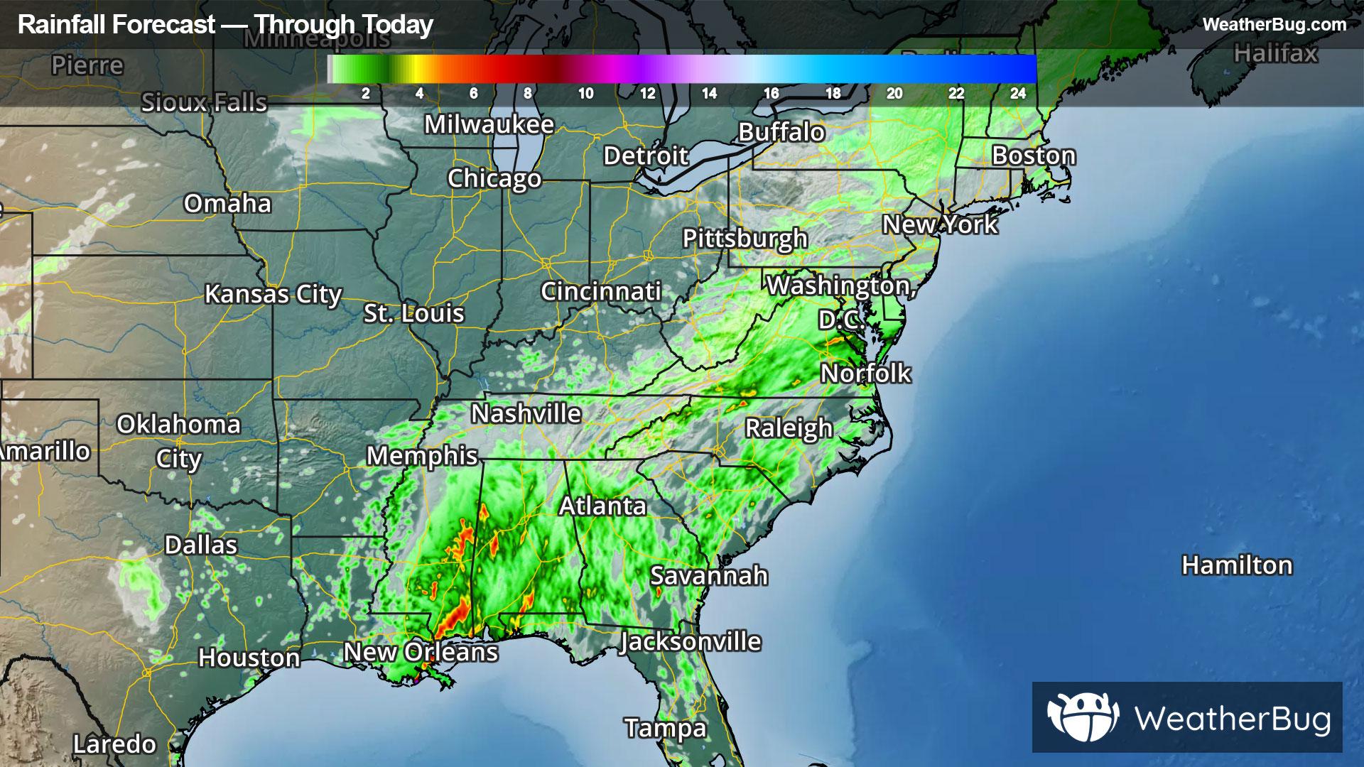
73°FConsiderable cloudiness. Highs in the lower 70s. North winds around 5 mph.
Tonight
53°F
Partly cloudy in the evening then becoming mostly cloudy. Lows in the mid 50s. Northeast winds around 5 mph.
- 78|62°F
 Partly SunnyHourly details
Day
78°FPartly sunny. Warm with highs in the lower 80s. Southeast winds around 5 mph becoming west in the afternoon.
Night
62°F
Considerable cloudiness. Warm with lows around 60. Northwest winds around 5 mph in the evening becoming light and variable.
- 80|59°FPartly SunnyHourly details
Day
80°FMostly cloudy in the morning then becoming partly sunny. Warm with highs in the lower 80s. West winds 5 to 10 mph.
Night
59°FMostly cloudy in the evening then becoming partly cloudy. Lows in the mid 50s.
- 70|49°F
 Mostly SunnyHourly details
Day
70°FMostly sunny. Highs in the lower 70s.
Night
49°F
Clear. Lows in the upper 40s.
- 72|48°F
 SunnyHourly details
Day
72°FSunny. Highs in the lower 70s.
Night
48°FMainly clear. Lows in the upper 40s.
Weekend Weather
- 67|47°FMostly SunnyHourly details
Day
67°FMostly sunny. Highs in the lower 70s.
Night
47°FMainly clear. Lows in the upper 40s.
- 66|50°FMostly Sunny
Day
66°FMostly sunny. Highs in the lower 70s.
Night
50°F
Mostly clear. Low temperature around 50F. Dew point will be around 46F with an average humidity of 71%. Winds will be 4 mph from the N.
- 71|54°FSunny
Day
71°FSunny. High temperature around 71F. Dew point will be around 47F with an average humidity of 55%. Winds will be 6 mph from the NW.
Night
54°FClear. Low temperature around 54F. Dew point will be around 49F with an average humidity of 71%. Winds will be 4 mph from the NW.
- 71|54°FSunny
Day
71°FSunny. High temperature around 71F. Dew point will be around 47F with an average humidity of 56%. Winds will be 5 mph from the NW.
Night
54°FClear. Low temperature around 54F. Dew point will be around 50F with an average humidity of 71%. Winds will be 2 mph from the NW.
- 74|58°FSunny
Day
74°FSunny. High temperature around 74F. Dew point will be around 52F with an average humidity of 59%. Winds will be 2 mph from the NW.
Night
58°FClear. Low temperature around 58F. Dew point will be around 54F with an average humidity of 74%. Winds will be 2 mph from the NW.