10-Day Weather Forecast - North Salem, IN
Weekend Weather
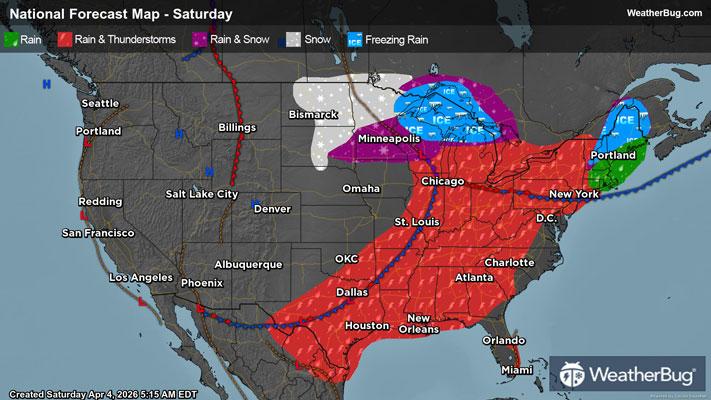
- 71|41°FScattered ThunderstormsHourly details
Today
71°FScattered thunderstorms. Showers. Highs in the lower 70s. Temperature falling into the lower 60s this afternoon. Southwest winds 15 to 20 mph becoming west late this afternoon. Gusts up to 30 mph. Chance of rain near 100 percent.
Tonight
41°FMostly cloudy through the late overnight then becoming partly cloudy. Much cooler with lows in the upper 30s. West winds 10 to 15 mph with gusts up to 25 mph.
- 49|39°FPartly CloudyHourly details
Day
49°FPartly cloudy. Much cooler with highs around 50. Northwest winds 10 to 15 mph with gusts up to 25 mph.
Night
39°FMostly clear. Lows in the upper 30s. West winds 5 to 10 mph. Gusts up to 20 mph toward daybreak.
- 53|32°FMostly SunnyHourly details
Day
53°FMostly sunny. Highs in the mid 50s. Northwest winds 10 to 15 mph with gusts up to 25 mph.
Night
32°FMostly clear. Widespread frost toward daybreak. Cold with lows around 30.
- 44|35°FSunnyHourly details
Day
44°FSunny. Highs in the upper 40s.
Night
35°FPartly cloudy. Lows in the mid 30s. Highs in the mid 60s.
- 62|54°FPartly CloudyHourly details
Day
62°FPartly cloudy. Lows in the mid 30s. Highs in the mid 60s.
Night
54°FPartly cloudy. Not as cool with lows around 50.
- 66|55°FPartly CloudyHourly details
Day
66°FPartly cloudy with a 20 percent chance of showers. Highs in the lower 70s. Lows in the lower 50s.
Night
55°FPartly cloudy with a 20 percent chance of showers. Highs in the lower 70s. Lows in the lower 50s.
- 72|56°FPartly Cloudy
Day
72°FPartly cloudy. Highs in the mid 70s.
Night
56°FMostly clear. Low temperature around 56F. Dew point will be around 50F with an average humidity of 64%. Winds will be 9 mph from the S.
Weekend Weather
- 70|61°F40% Chance of Rain
Day
70°FMostly cloudy with a chance of rain. Chance of precipitation 40%. High temperature around 70F. Dew point will be around 53F with an average humidity of 69%. Winds will be 12 mph from the S.
Night
61°FCloudy with a chance of rain. Chance of precipitation 55%. Low temperature around 61F. Dew point will be around 55F with an average humidity of 73%. Winds will be 10 mph from the S.
- 69|59°F60% Chance of Rain
Day
69°FCloudy with a chance of rain. Chance of precipitation 60%. High temperature around 69F. Dew point will be around 56F with an average humidity of 75%. Winds will be 10 mph from the SW.
Night
59°FPartly cloudy with a 50% chance for rain and thunderstorms. Low temperature around 59F. Dew point will be around 55F with an average humidity of 74%. Winds will be 6 mph from the S.
- 68|58°F60% Chance of Rain
Day
68°FCloudy with a chance of rain. Chance of precipitation 55%. High temperature around 68F. Dew point will be around 56F with an average humidity of 76%. Winds will be 7 mph from the SW.
Night
58°FPartly cloudy with a chance of rain. Chance of precipitation 50%. Low temperature around 58F. Dew point will be around 54F with an average humidity of 73%. Winds will be 4 mph from the S.