10-Day Weather Forecast - Twin Lakes, CT
- 64|53°FPartly SunnyHourly details
Today
64°FCloudy this morning then becoming partly sunny. Not as cool with highs in the lower 60s. South winds 5 to 10 mph with gusts up to 25 mph.
Tonight
53°FMostly cloudy. Not as cool with lows around 50. Southwest winds around 10 mph with gusts up to 20 mph becoming west after midnight.
Weekend Weather
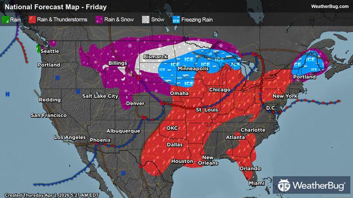
- 65|42°F30% Chance Rain ShowersHourly details
Day
65°FPartly sunny. A chance of showers in the afternoon. Highs in the mid 60s. North winds around 5 mph becoming east in the afternoon. Chance of rain 30 percent.
Night
42°FShowers likely. Lows in the lower 40s. Southeast winds 5 to 10 mph. Chance of rain 60 percent.
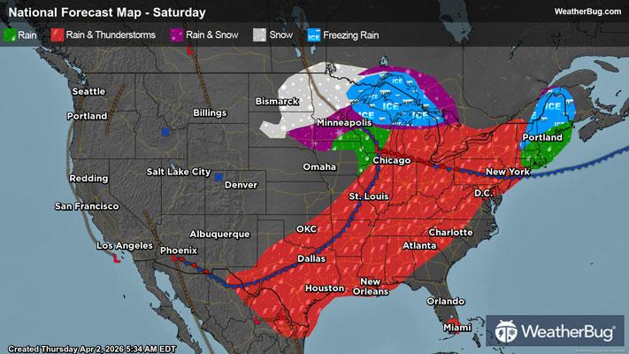
- 56|36°FRainHourly details
Day
56°FRain. Highs in the lower 60s. South winds 5 to 10 mph becoming southwest in the afternoon. Chance of rain near 100 percent.
Night
36°FMostly cloudy with a chance of rain in the evening then partly cloudy after midnight. Lows in the mid 30s. Chance of rain 50 percent.
- 46|32°FPartly SunnyHourly details
Day
46°FPartly sunny. Cooler with highs in the upper 40s.
Night
32°FPartly cloudy. Cold with lows around 30.
- 43|26°F30% Chance Snow ShowersHourly details
Day
43°FPartly sunny with a 30 percent chance of snow showers. Highs in the mid 40s.
Night
26°FPartly cloudy with a chance of snow showers in the evening then mostly clear after midnight. Cold with lows in the mid 20s. Chance of snow 30 percent.
- 47|34°FMostly SunnyHourly details
Day
47°FMostly clear. Highs in the upper 40s. Lows in the lower 30s.
Night
34°FMostly clear. Highs in the upper 40s. Lows in the lower 30s.
- 58|39°FMostly Sunny
Day
58°FMostly sunny. Not as cool with highs in the upper 50s.
Night
39°FClear. Low temperature around 39F. Dew point will be around 40F with an average humidity of 81%. Winds will be 6 mph from the S.
- 60|42°FMostly Sunny
Day
60°FMostly sunny. High temperature around 60F. Dew point will be around 41F with an average humidity of 71%. Winds will be 2 mph from the W.
Night
42°FClear. Low temperature around 42F. Dew point will be around 40F with an average humidity of 78%. Winds will be 1 mph from the E.
Weekend Weather
- 57|45°FSunny
Day
57°FSunny. High temperature around 57F. Dew point will be around 41F with an average humidity of 71%. Winds will be 4 mph from the SE.
Night
45°FPartly cloudy. Low temperature around 45F. Dew point will be around 42F with an average humidity of 82%. Winds will be 4 mph from the SE.
- 58|49°F30% Chance of Rain
Day
58°FCloudy with a slight chance of rain. Chance of precipitation 30%. High temperature around 58F. Dew point will be around 47F with an average humidity of 81%. Winds will be 3 mph from the S.
Night
49°FCloudy with a chance of rain. Chance of precipitation 35%. Low temperature around 49F. Dew point will be around 47F with an average humidity of 85%. Winds will be 3 mph from the S.