10-Day Weather Forecast - Unity, OR
- 74|41°F
 30% Chance of StormsHourly details
Today
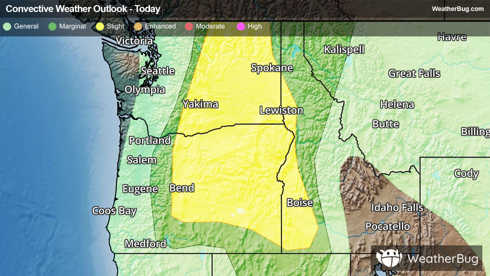
74°FPartly sunny. Areas of fog this morning. Scattered rain showers and thunderstorms this afternoon. Thunderstorms may produce heavy rainfall gusty winds and small hail this afternoon. Chance of rain 30 percent. Highs 78 to 86. Breezy. Northwest winds 10 to 15 mph this morning shifting to southeast 10 to 20 mph with gusts to 30 mph this afternoon.
Tonight
41°F
Partly cloudy with a chance of rain showers and thunderstorms in the evening then mostly clear after midnight. Areas of fog after midnight. Thunderstorms may produce heavy rainfall gusty winds and small hail in the evening. Chance of rain 30 percent. Lows 41 to 52. Breezy. South winds 10 to 20 mph with gusts to 35 mph in the evening becoming west up to 10 mph after midnight.
- 69|39°F30% Chance of StormsHourly details
Day
69°FAreas of fog in the morning. Mostly sunny in the morning then mostly cloudy with a chance of rain showers with a slight chance of thunderstorms in the afternoon. Chance of rain 30 percent. Highs 68 to 78. Light winds in the morning becoming west 10 to 15 mph with gusts to 25 mph in the afternoon.
Night
39°FMostly cloudy. A chance of rain showers with a slight chance of thunderstorms in the evening. Chance of rain 30 percent. Lows 36 to 48. Windy. Northwest winds 15 to 25 mph with gusts to 40 mph.
Weekend Weather
- 66|33°F
 Mostly SunnyHourly details
Day
66°FPatchy fog in the morning. Mostly sunny. Highs 62 to 70. Breezy. Northwest winds 10 to 20 mph with gusts to 35 mph.
Night
33°F
Partly cloudy. Lows 32 to 43. Breezy.
- 68|35°F
 SunnyHourly details
Day
68°FPatchy fog in the morning. Sunny. Highs 66 to 74.
Night
35°F
Mostly clear. Lows 36 to 47. Highs 71 to 79.
- 75|42°FMostly SunnyHourly details
Day
75°FMostly clear. Lows 36 to 47. Highs 71 to 79.
Night
42°FMostly clear. Lows 41 to 53. Highs 77 to 85.
- 81|49°FMostly SunnyHourly details
Day
81°FMostly clear. Lows 41 to 53. Highs 77 to 85.
Night
49°FPartly cloudy. Lows 47 to 57. Highs 78 to 87.
- 84|47°F
 Partly Cloudy
Day
84°FPartly cloudy. Lows 47 to 57. Highs 78 to 87.
Night
47°FMostly clear. Low temperature around 47F. Dew point will be around 38F with an average humidity of 53%. Winds will be 4 mph from the NW.
- 82|47°FSunny
Day
82°FSunny. High temperature around 82F. Dew point will be around 38F with an average humidity of 31%. Winds will be 4 mph from the SW.
Night
47°F
Clear. Low temperature around 47F. Dew point will be around 39F with an average humidity of 53%. Winds will be 5 mph from the NW.
- 83|47°FSunny
Day
83°FSunny. High temperature around 83F. Dew point will be around 40F with an average humidity of 32%. Winds will be 5 mph from the SW.
Night
47°FMostly clear. Low temperature around 47F. Dew point will be around 39F with an average humidity of 53%. Winds will be 5 mph from the W.
Weekend Weather
- 81|46°FPartly Cloudy
Day
81°FPartly cloudy. High temperature around 81F. Dew point will be around 39F with an average humidity of 32%. Winds will be 5 mph from the W.
Night
46°FPartly cloudy. Low temperature around 46F. Dew point will be around 38F with an average humidity of 54%. Winds will be 7 mph from the NW.