10-Day Weather Forecast - Wheatland, MI
- 27|19°FSnowHourly details
Today
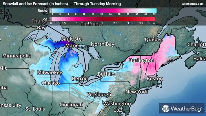
27°FSnow. Patchy blowing snow. Snow accumulation of 2 to 4 inches. Windy and much cooler with highs in the upper 20s. West winds 25 to 30 mph. Gusts up to 55 mph decreasing to 45 mph this afternoon. Chance of snow near 100 percent.
Tonight
19°FCloudy. Snow likely in the evening. Patchy blowing snow in the evening. Little or no additional snow accumulation. Blustery cold. Near steady temperature around 20. Northwest winds 15 to 25 mph with gusts up to 40 mph. Chance of snow 70 percent.
- 24|21°FMostly CloudyHourly details
Day
24°FMostly cloudy. A slight chance of snow in the afternoon. Highs in the mid 20s. West winds around 15 mph with gusts up to 30 mph. Chance of snow 20 percent.
Night
21°FMostly cloudy. A chance of snow mainly in the evening. Little or no snow accumulation. Cold with lows around 19. West winds 10 to 15 mph with gusts up to 25 mph. Chance of snow 50 percent.
- 28|12°F70% Chance of SnowHourly details
Day
28°FMostly cloudy. A chance of snow in the morning then snow likely in the afternoon. Little or no snow accumulation. Near steady temperature in the upper 20s. West winds 10 to 15 mph with gusts up to 30 mph. Chance of snow 70 percent.
Night
12°FPartly cloudy. A chance of snow mainly in the evening. Cold with lows around 10 above. Chance of snow 50 percent. Wind chill values as low as zero.
- 19|14°FMostly CloudyHourly details
Day
19°FMostly cloudy. Cold with highs around 20. Wind chill values as low as zero.
Night
14°FPartly cloudy in the evening then becoming mostly cloudy. Cold with lows around 10 above. Wind chill values as low as zero.
- 24|18°FMostly CloudyHourly details
Day
24°FMostly cloudy. Highs in the lower 20s. Wind chill values as low as zero.
Night
18°FPartly cloudy in the evening then becoming mostly cloudy. Cold with lows 10 to 15.
Weekend Weather
- 26|20°FMostly CloudyHourly details
Day
26°FMostly cloudy. Highs in the mid 20s.
Night
20°FPartly cloudy. Cold with lows around 15.
- 29|25°FMostly Cloudy
Day
29°FMostly cloudy. Highs in the upper 20s.
Night
25°FCloudy with a slight chance of rain-snow mix. Chance of precipitation 25%. Low temperature around 25F. Dew point will be around 21F with an average humidity of 81%. Winds will be 6 mph from the S.
- 33|25°F30% Chance Frozen Mix
Day
33°FCloudy with a slight chance of rain-snow mix. Chance of precipitation 25%. High temperature around 33F. Dew point will be around 25F with an average humidity of 83%. Winds will be 6 mph from the SW.
Night
25°FCloudy. Low temperature around 25F. Dew point will be around 23F with an average humidity of 85%. Winds will be 4 mph from the W.
- 29|23°FCloudy
Day
29°FCloudy. High temperature around 29F. Dew point will be around 22F with an average humidity of 80%. Winds will be 5 mph from the W.
Night
23°FCloudy. Low temperature around 23F. Dew point will be around 20F with an average humidity of 84%. Winds will be 2 mph from the W.
- 30|25°FCloudy
Day
30°FCloudy. High temperature around 30F. Dew point will be around 22F with an average humidity of 80%. Winds will be 4 mph from the SW.
Night
25°FCloudy. Low temperature around 25F. Dew point will be around 22F with an average humidity of 85%. Winds will be 4 mph from the SW.