Strong Storms And Downpours Hit The Mid-Atlantic, Ohio Valley
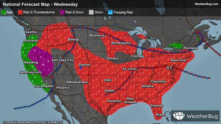
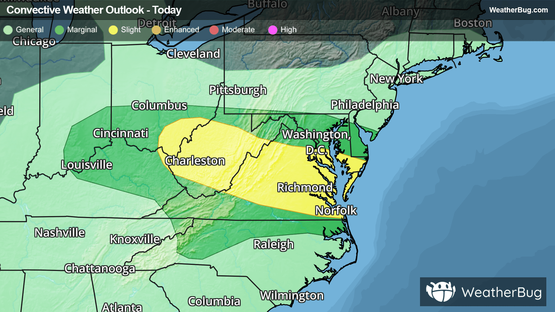
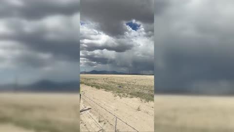
Rain and storms will form along two fronts from the Ohio Valley into the southern Mid-Atlantic today.
Read More

Feels like:89°
Current Weather Condition70% Chance Rain Showers
Hi

Showers likely with a chance of thunderstorms early then showers with thunderstorms likely. Some thunderstorms may produce heavy rainfall early. Some thunderstorms may produce heavy rainfall. Near steady temperature in the lower 80s. South winds around 5 mph. Chance of rain 90 percent.
Lo

Mostly cloudy. A chance of showers and thunderstorms in the evening then a chance of showers with a slight chance of thunderstorms after midnight. Some thunderstorms may produce heavy rainfall in the evening. Lows in the lower 70s. Southeast winds around 5 mph in the evening becoming light and variable. Chance of rain 50 percent.

Closest strike in the last 30 minutes:13.7 miles
Storms Approaching