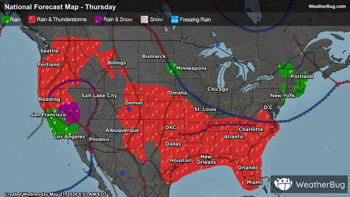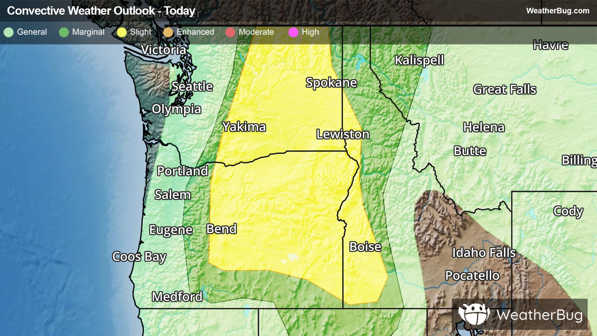
Potent Thunderstorms Target the Northwest
Thunderstorms will form today across the Columbia River Basin of Washington and Oregon
Read More

Feels like:61°
Current Weather ConditionPartly Cloudy
Hi

Mostly cloudy with a 50 percent chance of showers and thunderstorms. Highs in the upper 70s to lower 80s. North wind 5 to 10 mph. Rainfall amounts less than a tenth of an inch except higher amounts possible in thunderstorms.
Lo

Rain showers and a chance of thunderstorms in the evening then a chance of showers and thunderstorms overnight. Lows in the mid 40s to lower 50s. West wind 5 to 10 mph in the evening becoming light. Chance of precipitation near 100 percent. Rainfall amounts up to three quarters of an inch possible except higher amounts possible in thunderstorms.

Closest strike in the last 30 minutes:186.3 miles
No Lightning Nearby