Weather Alerts For Albany, GA
Nearby Severe Thunderstorm Warning
-A Weather Alert has been issued for a nearby area. While your current location is outside of the impacted area, please stay alert and monitor weather conditions. # SUMMARY -------------------- The National Weather Service in Tallahassee has issued a - Severe Thunderstorm Warning for... Western Dougherty County in southwestern Georgia... Northern Clay County in southwestern Georgia... Randolph County in southwestern Georgia... Lee County in southwestern Georgia... Calhoun County in southwestern Georgia... Quitman County in southwestern Georgia... Terrell County in southwestern Georgia... - Until 600 PM EDT. - At 448 PM EDT, severe thunderstorms were located along a line extending from 9 miles north of Fort Gaines to near Leary, moving northeast at 30 mph. # DETAILS -------------------- HAZARD 60 mph wind gusts. SOURCE Radar indicated. IMPACT Expect damage to roofs, siding, and trees. LOCATIONS IMPACTED INCLUDE Morgan, Dawson, Leesburg, Cuthbert, Georgetown, Albany, Edison, Shellman, Leary, Smithville, Walker, Sasser, Bronwood, Parrott, Wire Bridge, Carnegie, Watson Crossroads, Ricks Place, Dawson Municipal A/P, and Chambliss. ISSUED AT Sunday, May 24, 2026 at 4:48 PM EDT ISSUED BY National Weather Service Tallahassee FL HEADER BULLETIN - IMMEDIATE BROADCAST REQUESTED | Severe Thunderstorm Warning # PRECAUTIONARY/PREPAREDNESS ACTIONS -------------------- For your protection move to an interior room on the lowest floor of a building. To report severe weather, contact your nearest law enforcement agency. They will send your report to the National Weather Service office in Tallahassee.
Nearby Special Weather Statement
-A Weather Alert has been issued for a nearby area. While your current location is outside of the impacted area, please stay alert and monitor weather conditions. # HEADLINE -------------------- A STRONG THUNDERSTORM WILL IMPACT WESTERN DOUGHERTY, SOUTHEASTERN RANDOLPH, SOUTHWESTERN LEE, NORTHWESTERN BAKER, CALHOUN AND SOUTHERN TERRELL COUNTIES IN SOUTHWESTERN GEORGIA THROUGH 530 PM EDT # SUMMARY -------------------- At 438 PM EDT, Doppler radar was tracking a strong thunderstorm near Leary, or near Morgan, moving northeast at 15 mph. # DETAILS -------------------- HAZARD Wind gusts up to 50 mph. SOURCE Radar indicated. IMPACT Gusty winds could knock down tree limbs and blow around unsecured objects. LOCATIONS IMPACTED INCLUDE Morgan, Dawson, Albany, Leary, Walker, Sasser, Milford, Forrester, Lockett Crossing, Bridges Crossroad, Palmyra, Herod, Holt, Ducker, Cordrays Mill, Clarks Mill, Dawson Municipal A/P, Armena, Bermuda, and Dickey. ISSUED AT Sunday, May 24, 2026 at 4:38 PM EDT ISSUED BY National Weather Service Tallahassee FL HEADER Special Weather Statement # PRECAUTIONARY/PREPAREDNESS ACTIONS -------------------- If outdoors, consider seeking shelter inside a building. # AREAS AFFECTED -------------------- Baker GA, Calhoun GA, Dougherty GA, Lee GA, Randolph GA, Terrell GA
Dangerous Thunderstorm Alert
-An Earth Networks Dangerous Thunderstorm Alert is in effect until 5/24/2026 5:21 PM EDT Event Start: 5/24/2026 4:36 PM EDT Event End: 5/24/2026 5:21 PM EDT Earth Networks Dangerous Thunderstorm Alert Earth Networks Headquarters Germantown, MD * Until 5:21 PM EDT * At 4:36 PM EDT...The Earth Networks Total Lightning Network is indicating a thunderstorm with a significant rate of lightning occurring in your area and moving in your direction. This storm has an increased potential to produce severe weather such as very frequent lightning, heavy rain, hail and/or damaging winds and should be considered dangerous. (For more information on this Earth Networks product visit www.earthnetworks.com) * Storm is located near Latitude: 31.407, Longitude: -84.566 * Repeating, this storm contains frequent lightning and has an increased potential to produce severe weather and should be considered dangerous. Take appropriate measures to ensure safety to life and property immediately. This alert is being issued in an advisory capacity by Earth Networks Headquarters due to the detection of frequent lightning by The Earth Networks Total Lightning Network. It is not associated in any way with the country’s official meteorological services nor to any official alert linked to this storm. Active advisories or warnings issued by the official meteorological services should be followed in precedence to this alert. Stay tuned to www.earthnetworks.com, other Earth Networks applications or local media outlets for the latest severe weather information.
Lightning Alert
-Closest strike: 4.21 miles Stay Alert! Remain in a safe area until there has been no lightning within 10 miles of this location for 30 minutes. Please be aware that lightning activity can remain high even when a storm is moving away from your location. Even if rain has stopped, do not leave your safe area until WeatherBug indicates that lightning is more than 10 miles away from this selected location. IF OUTDOORS Avoid water, high ground, and open spaces. Avoid all metal objects including electric wires, fences, and machinery. Find a safe area in a building or in a fully enclosed vehicle with the windows completely shut. Unsafe places include underneath canopies, small picnic or rain shelters, convertibles, or near trees. IF INDOORS Avoid water and stay away from doors and windows. Avoid using a hard line telephone. Take off headphones. Turn off, unplug, and stay away from appliances, computers, power tools, and TV sets. Lightning may strike exterior electric and phone lines, inducing shocks to inside equipment.
Severe Storm Risk
-There is a Marginal Severe Storm Risk for your location. Continue reading for today's outlook from the National Weather Service's Storm Prediction Center. -------------------- 
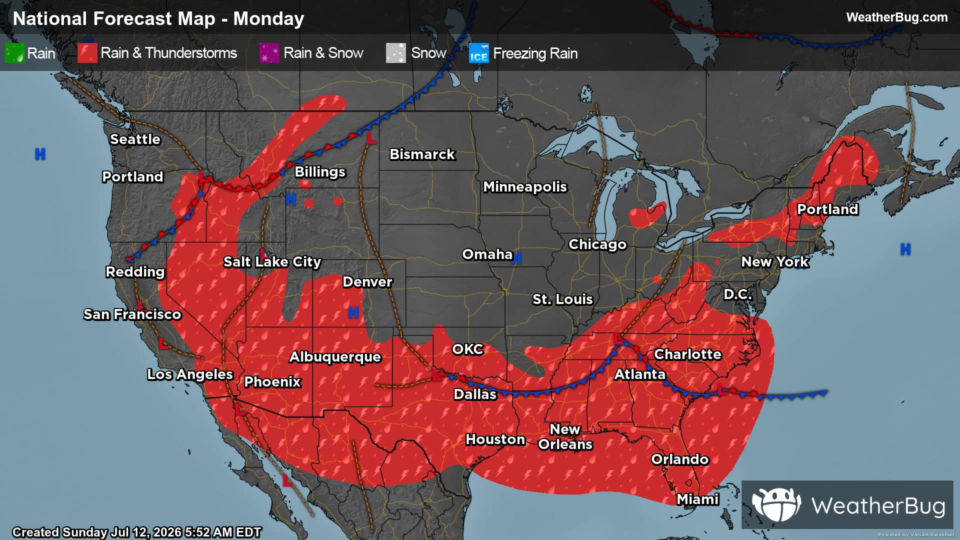
National Severe Storm Outlook THERE IS A SLIGHT RISK OF SEVERE THUNDERSTORMS OVER PARTS OF NORTHEAST NEBRASKA...SOUTHEASTERN SOUTH DAKOTA...NORTHWEST IOWA AND SOUTHWEST MINNESOTA SUMMARY Severe storms capable of hail/wind may occur across the Middle Missouri Valley/Siouxland later this afternoon into evening, with isolated severe storms also possible this afternoon/early evening across other parts of the central and southern Plains and Southeast. 20z Update No major changes were made to the prior outlook. Isolated to widely scattered thunderstorms, with a few supercells, appear probable across parts of the central High plains/Midwest late this afternoon into this evening. Moderate buoyancy and 35-40 kt of effective shear associated with west-northwesterly flow aloft could support supercells capable of large hail in the presence of steep lapse rates. Elsewhere, moderate to strong buoyancy and weak shear will predominate. Scattered thunderstorms over much of the Southeast and North/central TX will be capable of sporadic damaging gusts with downbursts. 5% wind probabilities were expanded slightly over parts of north TX where some convective clustering may occur along a prior outflow boundary and ahead of a weak MCV. Otherwise, see the previous discussion for more information.