Weather Alerts For Cardiff, AL
Flood Watch
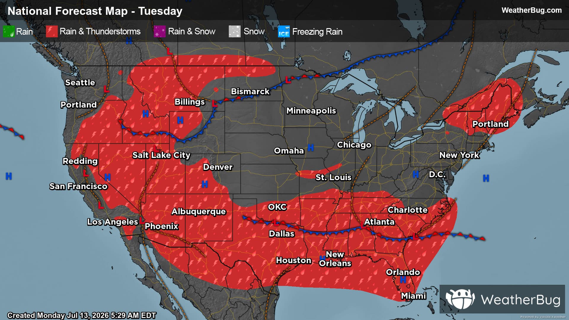
-# HEADLINE -------------------- FLOOD WATCH NOW IN EFFECT THROUGH TUESDAY EVENING # DETAILS -------------------- WHAT Flash flooding caused by excessive rainfall continues to be possible. WHERE A portion of central Alabama, including the following counties, Autauga, Bibb, Blount, Calhoun, Cherokee, Chilton, Clay, Cleburne, Coosa, Dallas, Elmore, Etowah, Hale, Jefferson, Lowndes, Marengo, Montgomery, Perry, Randolph, Shelby, St. Clair, Talladega, Tuscaloosa and Walker. WHEN Through Tuesday evening. IMPACTS Excessive runoff may result in flooding of rivers, creeks, streams, and other low-lying and flood-prone locations. ADDITIONAL DETAILS - http://www.weather.gov/safety/flood ISSUED AT Monday, May 25, 2026 at 12:07 PM CDT ISSUED BY National Weather Service Birmingham AL HEADER URGENT - IMMEDIATE BROADCAST REQUESTED | Flood Watch # PRECAUTIONARY/PREPAREDNESS ACTIONS -------------------- You should monitor later forecasts and be prepared to take action should Flash Flood Warnings be issued. # AREAS AFFECTED -------------------- Bibb, Jefferson, Montgomery, Autauga, Blount, Calhoun, Cherokee, Chilton, Clay, Cleburne, Coosa, Dallas, Elmore, Etowah, Hale, Lowndes, Marengo, Perry, Randolph, Shelby, St. Clair, Talladega, Tuscaloosa, Walker Including the cities of Roanoke, Tallassee, Prattville, Linden, Pelham, Anniston, Tuscaloosa, Alabaster, Greensboro, Heflin, Marion, Fort Deposit, Centre, Hoover, Columbiana, Rockford, Montgomery, Demopolis, Hayneville, Moundville, Ashland, Clanton, Wetumpka, Sylacauga, Oneonta, Selma, Centreville, Pell City, Gadsden, Talladega, Birmingham, Moody, and Jasper
Lightning Alert
-Closest strike: 10.23 miles Storms Approaching Stay alert and frequently check WeatherBug to see if storms are moving toward you. Be mindful that new storms can also form with little notice.