# HEADLINE
--------------------
FLOOD WATCH IN EFFECT THROUGH SATURDAY MORNING
# DETAILS
--------------------
WHAT
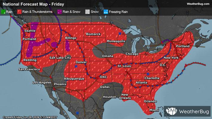
Flooding caused by excessive rainfall continues to be possible.
WHERE
Portions of central, south central, and southeast Indiana, including the following counties, in central Indiana, Bartholomew and Decatur. In south central Indiana, Brown and Jackson. In southeast Indiana, Jennings.
WHEN
Through Saturday morning.
IMPACTS
Excessive runoff may result in flooding of rivers, creeks, streams, and other low-lying and flood-prone locations. Low-water crossings may be flooded.
ADDITIONAL DETAILS
- Multiple rounds of thunderstorms producing heavy rainfall will impact southern portions of central Indiana through early Saturday. 1 to 3 inches of rainfall is expected with locally higher amounts.
- http://www.weather.gov/safety/flood
ISSUED AT
Friday, June 26, 2026 at 2:03 AM EDT
ISSUED BY
National Weather Service Indianapolis IN
HEADER
URGENT - IMMEDIATE BROADCAST REQUESTED | Flood Watch
# PRECAUTIONARY/PREPAREDNESS ACTIONS
--------------------
You should monitor later forecasts and be alert for possible Flood Warnings. Those living in areas prone to flooding should be prepared to take action should flooding develop.
# AREAS AFFECTED
--------------------
Bartholomew, Brown, Decatur, Jackson, Jennings
Including the cities of Seymour, Columbus, North Vernon, Greensburg, and Nashville