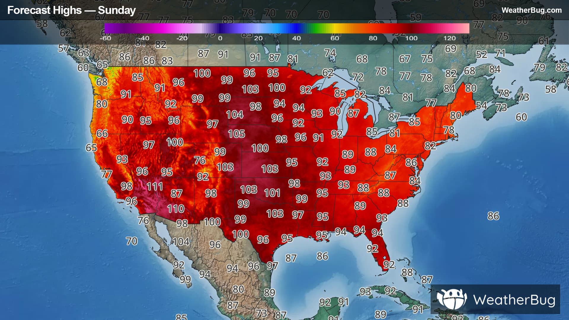
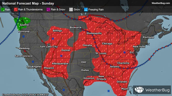
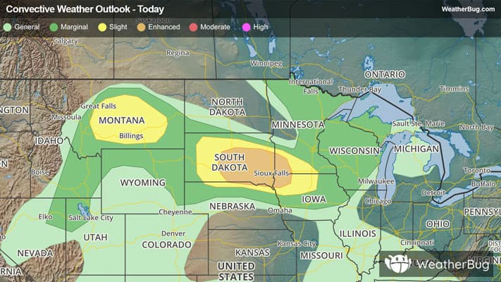
Weather Alerts For Forest Hills, NC
Special Weather Statement
-# HEADLINE -------------------- INCREASED FIRE DANGER THIS AFTERNOON AND EVENING FOR WESTERN NORTH CAROLINA # SUMMARY -------------------- Relative humidity values will fall into the 25 to 30 percent range this afternoon, with winds increasing to around 10 to 15 mph with some higher gusts. With vegetation remaining dry, the ongoing drought, and favorable meteorological conditions, fires will be able to catch and spread rapidly. Refer to your local burn permitting authority regarding whether you may burn outdoors today. If you do burn, exercise extreme caution as fires can quickly get out of hand under these conditions. # DETAILS -------------------- ISSUED AT Wednesday, April 15, 2026 at 1:53 AM EDT ISSUED BY National Weather Service Greenville-Spartanburg SC HEADER Special Weather Statement # AREAS AFFECTED -------------------- Burke Mountains, Eastern Polk, Haywood, Mecklenburg, Rutherford Mountains, Southern Jackson, Alexander, Avery, Buncombe, Cabarrus, Caldwell Mountains, Catawba, Cleveland, Davie, Eastern McDowell, Gaston, Graham, Greater Burke, Greater Caldwell, Greater Rutherford, Henderson, Iredell, Lincoln, Macon, Madison, McDowell Mountains, Mitchell, Northern Jackson, Polk Mountains, Rowan, Swain, Transylvania, Union, Yancey
Pollen Alert
-Pollen Index: 11.5 Pollen Level: high Predominant Pollen: Oak, Elm and Cedar/Juniper. The quantity of pollen grains in the air for Thursday will remain relatively stable in the extremely high range. No change doesn't mean no pollen, it just means that pollen producing plants are delivering pollen at a steady pace.